Walks around Bletchingley
![]()
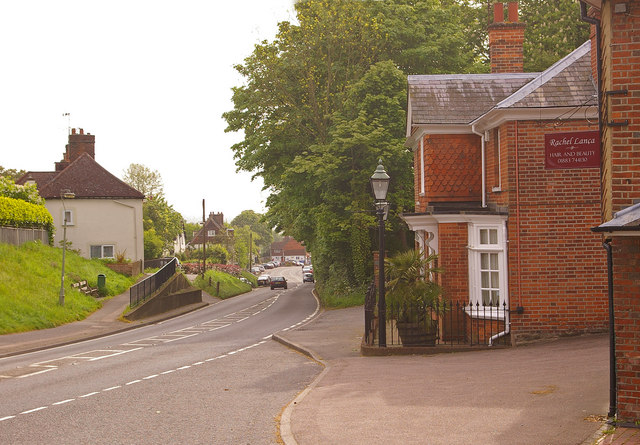
![]() This fine Surrey based village is a worthy place to visit for walkers and historians.
This fine Surrey based village is a worthy place to visit for walkers and historians.
The village includes a conservation area with many medieval buildings of interest. It is also located on the Greensand Ridge which can be explored on foot on the Greensand Way long distance trail. This circular walk from the village uses part of the trail to visit nearby Redhill where you can explore Redhill and Earlswood Common. The commons are a popular place for local walks with good footpaths and the pretty Earlswood Lakes to see.
The walk then follows a traffic free section of National Cycle Route 21 to visit the wildlife rich Moors Nature Reserve and Mercers Country Park. Another local highlight the park includes a large boating lake and some pleasant walking trails.
Scroll down for a list of other walks near and around the village.
For more details on the historic buildings, local amenities and neighbouring settlements see the informative wikipedia page.
Postcode
RH1 4PE - Please note: Postcode may be approximate for some rural locationsBletchingley Ordnance Survey Map  - view and print off detailed OS map
Bletchingley Open Street Map  - view and print off detailed map
Bletchingley OS Map  - Mobile GPS OS Map with Location tracking
Bletchingley Open Street Map  - Mobile GPS Map with Location tracking
Walks near Bletchingley
- Godstone - Godstone is a very pretty village in Surrey with the typical English village green and cricket pitch
- Redhill and Earlswood Common - This circular walk explores Redhill and Earlswood Commons in Surrey
- Greensand Way - The Greensand Way runs from Haslemere in Surrey to Hamstreet in Kent following the ridge of greensand rock that crosses the two counties
- Mercers Country Park - Enjoy a nice lakeside trail around Mercers Lake on this short walk in Redhill
- Earlswood Lakes - Enjoy a stroll along these three reservoirs and into the adjacent woodland on this lovely walk in Solihull
- Reigate Heath - This walk explores Reigate Heath on the western side of the town
- Reigate and Banstead Millennium Trail - This splendid walk was devised by Reigate and Banstead Borough Council to celebrate the new millennium
- Reigate Hill and Gatton Park - This circular walk explores Reigate Hill and Gatton Park in the North Downs
- Priory Park Reigate - This large park in Reigate is great for walking with miles of woodland trails, lakes and formal gardens
Pubs/Cafes
The Bletchingley Arms is located on the High Street at postcode RH1 4PE. They serve good quality food and have a lovely spacious pub garden for warmer weather.
Photos
Lake in Mercers Country Park. Large lake used for water sports. The dark patches near the lower edge of photo are big carp in the shallow water where a slipway meets the lake
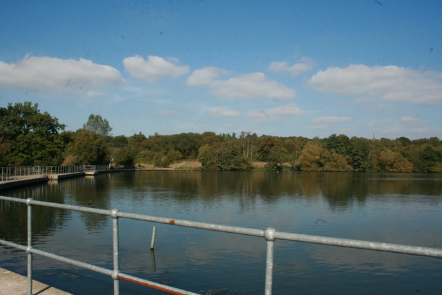
Earlswood Lakes. This is the top lake of the two lakes on a nice clear sunny day. The lake itself is not very deep and has an abundance of wildlife. It is a very quiet, relaxing spot, where you can either take in the views or go for walk around the lakes. The walks takes you through the woods where there are more hidden surprises. Bursting with wild life, you may catch a glimpse of a rare species, a migrant bird. An ideal nature reserve, easily accessed from either the M25 or M23, good free parking, with refreshment available.


