Bodfari Walks
![]()
![]() This Denbighshire village is in a good spot for exploring the Clwydian Range AONB.
This Denbighshire village is in a good spot for exploring the Clwydian Range AONB.
This circular walk from the village climbs to the Moel-y-Gaer Hill fort which stands on a hill to the north of the settlement.
You can follow a section of the Offa's Dyke Path up to the hill where there are some fine views of the valley of the River Wheeler. The Iron Age fort stands at a height of 200 m (656 ft) making it one of the smaller forts in the Clwydian Range.
To continue your walking in the area follow the Offa's Dyke Path south to climb to Penycloddiau and Moel Arthur where there's some lovely heather and more great views. The Clwydian Way also passes through the area and is a great way of exploring the mountains.
Postcode
LL16 4DA - Please note: Postcode may be approximate for some rural locationsBodfari Ordnance Survey Map  - view and print off detailed OS map
Bodfari Open Street Map  - view and print off detailed map
*New* - Walks and Cycle Routes Near Me Map - Waymarked Routes and Mountain Bike Trails>>
Bodfari OS Map  - Mobile GPS OS Map with Location tracking
Bodfari Open Street Map  - Mobile GPS Map with Location tracking
Walks near Bodfari
- Moel Famau Country Park - Climb to the top of Moel Famau mountain on this circular walk through the stunning Moel Famau Country Park
- Penycloddiau - This circular walk climbs to the ancient hill fort at Penycloddiau in the Clwydian Range.
- Moel Arthur - This short climb follows the Offa's Dyke Path from the Clywd Forest to Moel Arthur in the Clwydian Range AONB
- Moel Y Parc - This walk takes you up to the transmitting station on Moel Y Parc in the Clwydian mountain range.
- Offa's Dyke Path - This incredible 177 mile trail starts on the River Severn Estuary in Gloucestershire in England before taking you over the border into Wales and on through some truly splendid mountainous scenery
- Denbigh - This market town is located in the north east of Wales in the county of Denbighshire
- Ysceifiog - This walk explores the area around the Flintshire village of Ysceifiog, visiting the pretty lake and the surrounding countryside.
- Henllan - The village of Henllan is located near the town of Denbigh in the Welsh county of Denbighshire
Pubs/Cafes
The Dinorben Arms is a great place for some rest and refreshment after your exercise. The historic pub sits in a lovely location next to St Stephen's church. There's a splendid outdoor terrace where you can enjoy views over the countryside with your meal. You can find them at postcode LL16 4DA for your sat navs.
Dog Walking
The country trails make for a fine dog walk. The Dinorben Arms mentioned above is also dog friendly.
Further Information and Other Local Ideas
Just a few miles to the east is Ysceifiog where you can enjoy a stroll around the lake to a pretty waterfall.
For more walking ideas in the area see the Clwydian Range Walks page.
Photos
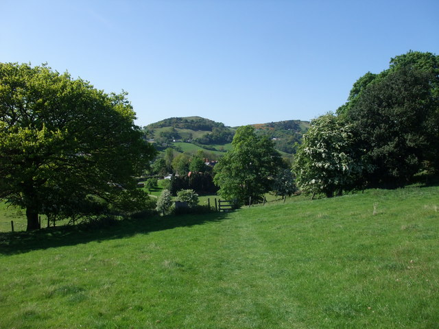
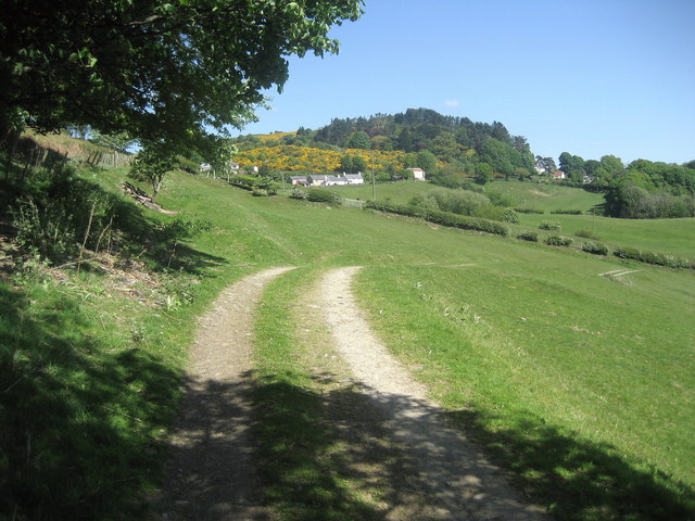
Offa's Dyke Path towards Bodfari: Grove Hall Farm nestling in trees in the mid-distance, and the hill fort of Moel Y Gaer on the horizon


