Bramerton Riverside Walk
![]()
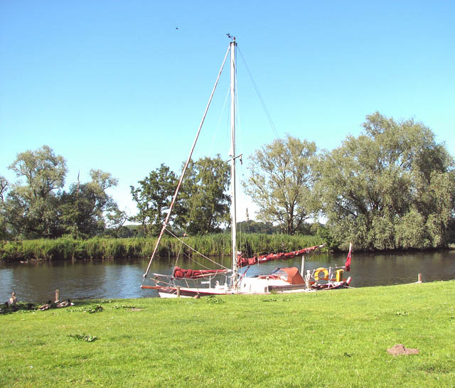
![]() This walk takes you along a pleasant section of the River Yare near the village of Bramerton in Norfolk.
This walk takes you along a pleasant section of the River Yare near the village of Bramerton in Norfolk.
You can start the walk from the public riverside car park just to the north of the village at Woods End. Near here there's also the Water's Edge Pub which has an alternative car park if you'd lilke to start from there. From here you can pick up public footpaths heading east along the river to the Bramerton Pits Site of Special Scientific Interest and the Church Marsh Nature Reserve. The RSPB reserve is a fine place for spotting birds such as Kingfisher and Marsh Harrier. At the eastern end of the reserve you can also enjoy some fine views over Surlingham Broad.
At the broad you will pass the Ferry House Inn where you could stop for refreshments in the lovely garden area.
Part of the walk uses a section of the Wherryman's Way. The long distance, waymarked trail can be used to further explore the area. It runs for 35 miles from Norwich to the coast at Great Yarmouth passing through some wonderful Norfolk Broads scenery.
Postcode
NR14 7ED - Please note: Postcode may be approximate for some rural locationsBramerton Riverside Walk Ordnance Survey Map  - view and print off detailed OS map
Bramerton Riverside Walk Open Street Map  - view and print off detailed map
Bramerton Riverside Walk OS Map  - Mobile GPS OS Map with Location tracking
Bramerton Riverside Walk Open Street Map  - Mobile GPS Map with Location tracking
Pubs/Cafes
The Water's Edge Gastropub is located near the car park at the start of the walk. The riverside inn dates back to the 17th century and includes outdoor seating with views over the river. They have a restaurant serving high quality dishes and a good sized car park.
Dog Walking
The riverside path makes for a pleasant dog walk but you are asked to keep them on leads in the nature reserve. Dogs are welcome in the outdoor area at the Water's Edge pub mentioned above.
Cycle Routes and Walking Routes Nearby
Photos
The Bramerton Pits. The gate leading into the site is locked. The wooded hillside adjoining Bramerton Common at Woods End, above the southern bank of the River Yare, conceals a 12 metres thick layer of shelly silts and sands which has given its name to an early Pleistocene glacial stage called Bramertonian Stage. Bramerton Pits is a Site of Special Scientific Interest and is regarded as a key reference locality. The fossil marine shells found here indicate that sea levels were much higher when these sediments were deposited here. A variety of fossil animals including marine fishes, extinct voles, a gomphotene mastodont and an extinct otter have been found on the site which has been excavated on several occasions.


