Brundall River Walk
![]()
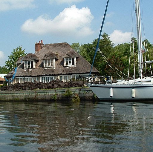
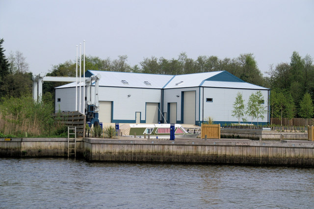
![]() This riverside village is located just east of Norwich in the Norfolk Broads. There's lots of pretty marinas and a significant boat building industry in the attractive settlement.
This riverside village is located just east of Norwich in the Norfolk Broads. There's lots of pretty marinas and a significant boat building industry in the attractive settlement.
This walk from the village takes you to the River Yare at Surlingham Broad, just to the south west of the settlement. From the village centre head west along Postwick Lane, passing Brundall Gardens Marina. You can then follow footpaths south to meet with the river opposite the Ferry House Pub at Surlingham. There's a short trail here running south with views over to the Church Lane nature reserve on the other side.
Brundall Ordnance Survey Map  - view and print off detailed OS map
Brundall Open Street Map  - view and print off detailed map
Brundall OS Map  - Mobile GPS OS Map with Location tracking
Brundall Open Street Map  - Mobile GPS Map with Location tracking
Walks near Brundall
- Surlingham - This Norfolk Broads village is a super place for a walk with river trails, broads and a fine local nature reserve to explore.
- Wherryman's Way - This walk follows the River Yare between Norwich and Great Yarmouth through the Norfolk Broads.
- Whitlingham Country Park - Enjoy a peaceful cycle or walk around the lovely Whitlingham Country Park on the outskirts of Norwich
- Norwich Riverside Walk - This circular walk around the city centre of Norwich follows the lovely riverside path along the River Wensum
- Mousehold Heath - This area of heathland and woodland in Norwich, has miles of nice footpaths to try
- Caistor St Edmund - This historical circular walk explores the Roman town of Caistor St Edmund in Norfolk
- Loddon - This attractive market town in Norfolk has some delightful riverside trails to try
- Shotesham - This south Norfolk village is located just a few miles to the south of the city of Norwich in the River Tas Valley.
- Strumpshaw Fen - This walk visits the RSPB'S Strumpshaw Fen Nature Reserve in the Norfolk Broads, west of Strumpshaw village.
- Bramerton Riverside Walk - This walk takes you along a pleasant section of the River Yare near the village of Bramerton in Norfolk.
- Burlingham Woods - These pretty woods are located just east of Norwich near the villages of Acle and Brundall.
Pubs/Cafes
The Yare at Brundall is a nice place for some post walk refreshment. You can find them on the Riverside Estate at postcode NR13 5PL.
Further Information and Other Local Ideas
Just to the south east you'll find the RSPB's Strumpshaw Fen. There's some lovely trails here with River Yare views, marshland, lakes, orchid-rich meadows and lots of birdlife to see.
Just over two miles to the east there's Burlingham where you can explore the peaceful trails around Burlingham Woods. It's a lovely place for a stroll with carpets of snowdrops in Ferbruary and lots of bluebells in the spring months. There's also the interesting ancient ruins of the 14th century St Peter church to see here.
For more walking ideas in the area see the Norfolk Broads Walks page.
Photos
Brundall railway station - footbridge over railway line. Brundall railway station is located on the Wherry Lines and served by National Express East Anglia, linking Norwich with Great Yarmouth and Lowestoft. The presently unstaffed station is a junction on the Brundall and Yarmouth, and the Norwich and Yarmouth lines - the line to Great Yarmouth (via Acle) diverges from the line to Lowestoft and Great Yarmouth (via Reedham). The station building now houses a shop. There is a manned signalbox east of the westbound platform and a brick hut beside the crossing gates on Station Road for the crossing keeper who manually opens/closes the crossing gates. A footbridge over the line gives access to the westbound platform.
View north along the Yare. The River Yare rises south of Dereham. It flows eastwards, skirting the southern edge of the city of Norwich. At Whitlingham it is joined by the River Wensum and just before reaching Reedham it is joined by the River Chet. Once past Reedham the river passes long stretches of marshland before it enters the tidal lake of Breydon Water where it is joined by the Rivers Bure and Waveney, and finally flows into the North Sea at Gorleston just south of Great Yarmouth.


