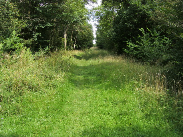
Brampton Wood
![]()
![]() These ancient woods near Huntingdon consist of 326 acres with lots of nice walking trails and interesting flora and fauna.
These ancient woods near Huntingdon consist of 326 acres with lots of nice walking trails and interesting flora and fauna.
Look out for 280 species of fern, conifer, flowering plant and trees. There are lots of pretty flowers in the spring and summer months such as bluebells, primrose and violets. It's great for wildlife too with several species of butterfly including Brown Argus, White Admiral and Purple Hairstreak. Also look out for Hazel Dormouse and Muntjac deer.
To extend your walk you could visit the nearby Grafham Water. There's a great walking and cycling trail running around the lake with lots of water loving birdlife to look out for on the way. You can reach Brampton Wood and Grafham Water by cycling along National Cycle Route 12 which runs past the southern edge of the woods. This runs all the way to Huntingdon, passing Hinchingbrooke Country Park on the way. There is also a car park at the southern edge of the woods just off the Brampton Road.
Postcode
PE28 0UR - Please note: Postcode may be approximate for some rural locationsBrampton Wood Ordnance Survey Map  - view and print off detailed OS map
Brampton Wood Open Street Map  - view and print off detailed map
Brampton Wood OS Map  - Mobile GPS OS Map with Location tracking
Brampton Wood Open Street Map  - Mobile GPS Map with Location tracking
Pubs/Cafes
Head into Brampton village and you could visit the Black Bull. The historic inn dates back to the 16th century and is housed in a timber framed building. Samuel Pepys used to drink here and was the local magistrate. Next door is the Brampton Parish Church, founded in Norman times and opposite is the Manor House, now a Cheshire Home.
They serve good food and can be found at postcode PE28 4PF.
Dog Walking
The woods are a fine place for a dog walk though you are requested to keep them on leads due to the nesting birds. The Black Bull mentioned above is also dog friendly.
Cycle Routes and Walking Routes Nearby
Photos
Brampton Village Green. A view of the village which lies just east of the woods. Owned by the Parish Council and used for many village events. In a conservation area and surrounded by a number of listed buildings. The pond was filled-in in 1955. The size and shape suggests that it was probably used for longbow practice at one time.


