Broadland Country Park
![]()
![]() This country park is located near Horsford and Felthorpe in the Norwich area of Norfolk.
This country park is located near Horsford and Felthorpe in the Norwich area of Norfolk.
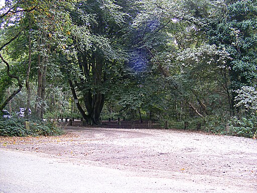
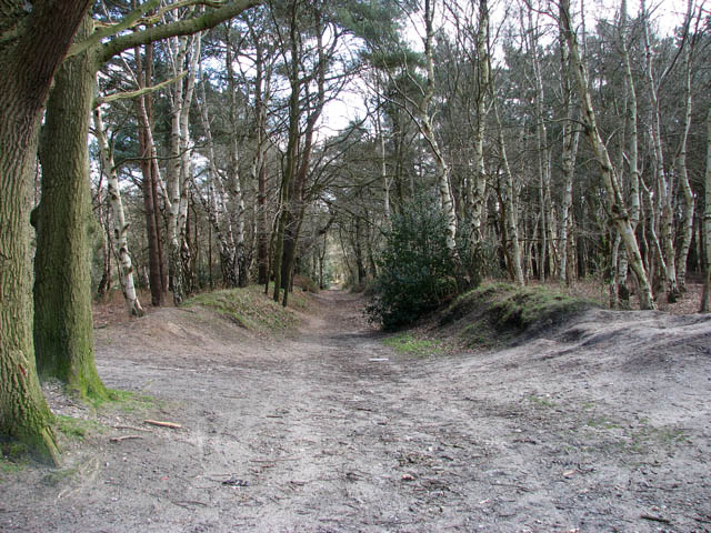
In the park there are waymarked cycling and walking trails to follow through the peaceful mix of broadleaf and conifer woodland.
On the way you can look out for a variety of wildlife including mistle thrush, great and blue tits, great spotted woodpecker, crossbill, siskin, lesser redpoll. In the heathland areas there's also common lizards and nightjar to see. If you're lucky you might even spot a deer in the woodland area.
There's also some interesting flora with lots of pretty bluebells in the spring months.
The park is adjacent to Horsford Woods. Just head east from the car park and you can explore these expansive woods.
To continue your walking in the area head north to visit Marsham Heath near Aylsham. There's more good footpaths here with miles of heathland and woodland to explore.
Postcode
NR10 4DF - Please note: Postcode may be approximate for some rural locationsPlease click here for more information
Broadland Country Park Ordnance Survey Map  - view and print off detailed OS map
Broadland Country Park Open Street Map  - view and print off detailed map
Broadland Country Park OS Map  - Mobile GPS OS Map with Location tracking
Broadland Country Park Open Street Map  - Mobile GPS Map with Location tracking
Pubs/Cafes
You could head into nearby Felthorpe and visit the Mariners Arms. You can find them just north west of the park at postcode NR10 4DQ for your sat navs.
Dog Walking
The woodland trails are ideal for dog walking. You'll probably meet other owners on a fine day. The Mariners Arms pub mentioned above is also dog friendly.
Further Information and Other Local Ideas
On the western side of the park you can pick up the Marriot's Way. This popular shared cycling and walking trail runs from from Aylsham to Norwich along a disused railway line.
Just to the south west there's Taverham Mill to explore. The mill is a wildlife rich nature reserve with three colour coded walking trails taking you to grassland, woodland, water meadow and a wild flower meadow. The Costessey Circular Walk can also be picked up in this area. There's nice views of the of the valleys of the rivers Wensum and Tud on this easy walk.
To the east there's the Broadland Northway which runs along the major road. You can pick up the trail at nearby Horsham St Faith.
Cycle Routes and Walking Routes Nearby
Photos
Old oaks growing beside ancient path Houghen Plantation - a woodland consisting of sections of conifers alternating with birch and sweet chestnut trees, interspersed by the occasional ancient oak - borders onto St Faith's Common and the B1149 (Holt Road) in the northeast and onto Dole Plantation and Drayton Dewray in the southwest. The woodland offers a wide range of footpaths, cycle paths and horse rides. It is traversed by an ancient lane which links the public bridleway turning off Bilney Lane in the village of Felthorpe with Sandy Lane just north of the village of Horsford.
Log cabin on Whinny Hills - entrance. This tiny cabin has been constructed from logs and branches, using rope only to hold everything together. Several living trees are incorporated in the structure. Access is possible by squeezing through the 'V' formed by twin trees.
Enjoying the warm mid-March sunshine. Two dogs playing - a snapshot taken on the public bridleway which skirts the western edge of Houghen Plantation, leading from Bilney Lane in the village of Felthorpe to St Faith's Common, further to the northeast.


