Costessey Circular Walk
![]()
![]() This circular walk explores the area around the Norfolk village of Costessey.
This circular walk explores the area around the Norfolk village of Costessey.
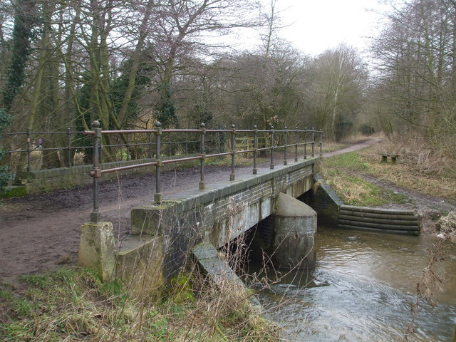
The village is located just to the west of the city of Norwich and has some nice country trails to follow. This route uses part of the Marriot's Way and other public footpaths to take you through the countryside to the north and east of the village. On the way there's nice views of the valleys of the rivers Wensum and Tud which flow through the area. The area around Hellesdon Mill and bridge is particularly scenic.
Just to the north west of the village you could extend the walk at Taverham Mill. The mill is actually a wildlife rich nature reserve with three colour coded walking trails taking you to grassland, woodland, water meadow and a wild flower meadow.
Costessey Ordnance Survey Map  - view and print off detailed OS map
Costessey Open Street Map  - view and print off detailed map
Costessey OS Map  - Mobile GPS OS Map with Location tracking
Costessey Open Street Map  - Mobile GPS Map with Location tracking
Walks near Costessey
- Hellesdon Circular Walk - A circular walk from the Norwich village of Hellesdon
- Taverham Mill - This walk visits the Taverham Mill Nature Reserve in the village of Taverham, Norfolk.
- Marriot's Way - This wonderful cycle and walking path runs from Aylsham to Norwich along the trackbeds of two former railway lines
- Marsham Heath - This circular walk visits the Cawston and Marsham Heaths near Aylsham and Norwich in Norfolk.
- Norwich Riverside Walk - This circular walk around the city centre of Norwich follows the lovely riverside path along the River Wensum
- Aylsham - Aylsham is an attractive market town located in North Norfolk
- Blickling Hall - The Blickling Hall estate in Aylsham has five thousand acres of parkland, farmland and woodland to explore on foot or by bike.
- Heydon Hall - This walk visits the delightful Norfolk village of Heydon
- Mannington Hall - This circular walk visits Mannington Hall and Gardens near Itteringham in Norfolk.
- Wolterton Hall - This walk explores the grounds of the 18th century Wolterton Park estate in Norfolk.
- Baconsthorpe Castle - This circular walk explores the area around the Norfolk village of Baconsthorpe, visiting the historic Baconsthorpe Castle.
- Broadland Country Park - This country park is located near Horsford and Felthorpe in the Norwich area of Norfolk.
- Horsford Woods - This walk explores Horsford Woods near the Norfolk based village of Horsford.
Pubs/Cafes
The Harte is a 1930s Mock Tudor pub in Old Costessey. The interior bar area is a fine example of 1930's Arts and Crafts decor with open fires at either end. Oustside there's terraced and garden seating for warmer days. You can find them at postcode NR8 5BS for your sat navs. There is a parking area and they are also dog friendly.


