Brodie Castle Walks
![]()
![]() This historic 16th century castle is located near Forres, in Moray.
This historic 16th century castle is located near Forres, in Moray.
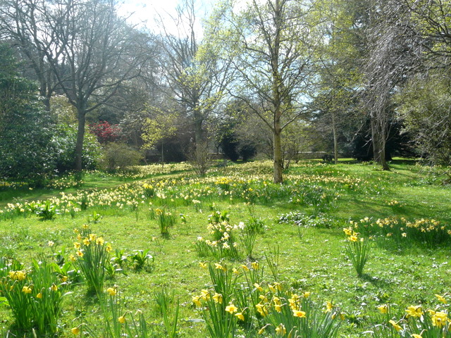
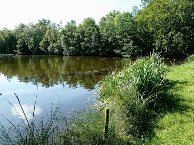
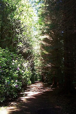
The castle is run by the National Trust for Scotland and includes some lovely grounds with 400 varieties of daffodil. There's also some wonderful large scupltures including the Brodie Bunny and some very fine Unicorns. You can enjoy a stroll around the woodland trails, lovely gardens and enjoy excellent views of the surrounding Moray countryside. At the western end there's also a lake which attracts a variety of wildfowl.
To continue your walking in the area you could head east to Forres and pick up the Moray Coast Trail. The Forres To Findhorn is the opening section which takes you along the wildlife rich Findhorn Bay. The Dava Way walking and cycling trail can also be picked up here.
Please click here for more information
Brodie Castle Ordnance Survey Map  - view and print off detailed OS map
Brodie Castle Open Street Map  - view and print off detailed map
Brodie Castle OS Map  - Mobile GPS OS Map with Location tracking
Brodie Castle Open Street Map  - Mobile GPS Map with Location tracking
Cycle Routes and Walking Routes Nearby
Photos
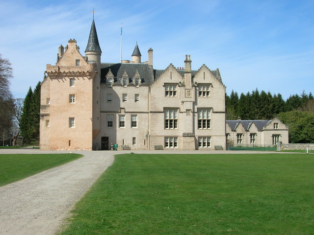
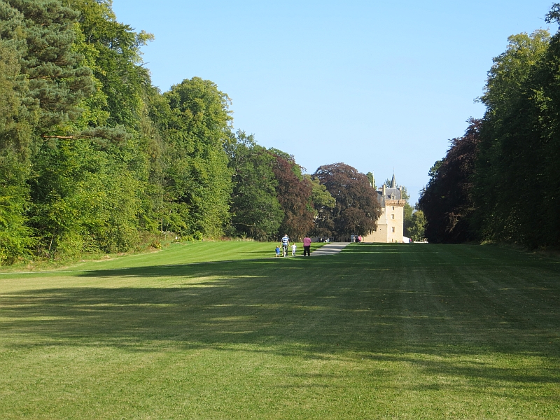
Brodie Castle. The original castle was built in 1567 by Clan Brodie but destroyed by fire in 1645 by Clan Gordon. It was greatly expanded in 1824 by the architect William Burn who turned it into a fortified house. The castle is now in the care of National Trust for Scotland and open to the public.
Brodie is the home of the National Daffodil Collection, so puts on a fine show in spring. The castle also has a very well-preserved 16th-century central keep with two 5-storey towers on opposing corners. The interior of the castle is well preserved, containing fine antique furniture, oriental artefacts and painted ceilings, largely dating from the 17th–19th centuries.
Rodney's Stone. The stone is a two-metre high Pictish cross slab now located close on the approach way to Brodie Castle. The stone is most notable, however, for its inscription, which is found on both of the sides and on the cross face. It is the longest of all Pictish inscriptions, and like most Pictish inscriptions, is written in the Ogham alphabet. It is a scheduled ancient monument.
The Picts were a group of peoples who lived in Britain north of the Forth–Clyde isthmus in the Pre-Viking, Early Middle Ages
