Bubwith Rail Trail
![]()
![]() This walk takes you along the Bubwith Rail Trail from the village of Bubwith in East Riding of Yorkshire.
This walk takes you along the Bubwith Rail Trail from the village of Bubwith in East Riding of Yorkshire.
It's a nice flat, easy route running along pleasant grassy footpaths for a distance of just under 9 miles.
You can pick up the trail just to the south of the village of Bubwith which lies just east of the River Derwent. Follow the trail north east and it will take you past Foggathorpe and Holme-on-Spalding-Moor before finishing just west of Market Weighton. On the way you will pass the site of the old stations on the now disused Market Weighton to Selby line which close in the 1950s.
The route is coincident with the Howden 20, a 20 mile circular walk exploring the area. At the western end you could follow the trail south along the River Derwent to visit nearby Breighton.
Bubwith Rail Trail Ordnance Survey Map  - view and print off detailed OS map
Bubwith Rail Trail Open Street Map  - view and print off detailed map
Bubwith Rail Trail OS Map  - Mobile GPS OS Map with Location tracking
Bubwith Rail Trail Open Street Map  - Mobile GPS Map with Location tracking
Further Information and Other Local Ideas
At Market Weighton you can continue your rail trail exercise on the Hudson Way. This will take you along another old railway to Beverley via Goodmanham and Etton. The trail also links with the Yorkshire Wolds Cycle Route. The 143 mile circular ride takes you on a tour of some of the Wold's highlights.
Cycle Routes and Walking Routes Nearby
Photos
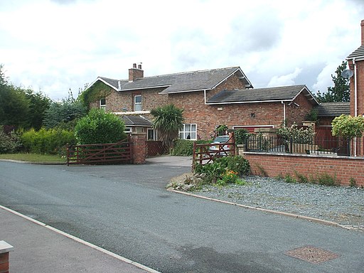
Holme Moor railway station (site). Actually located in Holme-(up)on-Spalding-Moor village, the station always carried the abbreviated name. Believed to have opened in 1848 by the North Eastern Railway on the line from Market Weighton to Selby, this station closed to passengers in 1954 and completely in 1965. Former forecourt.


