Market Weighton Circular Walk
![]()
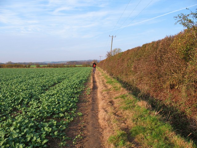
![]() This circular walk around Market Weighton makes use of the Yorkshire Wolds Way to take you on a tour of the countryside, woodland, lakes and parkland surrounding the East Riding town. The waymarked long distance trail will take you north to the lovely Londesborough Park where there's pretty streams, pockets of woodland and two small lakes.
This circular walk around Market Weighton makes use of the Yorkshire Wolds Way to take you on a tour of the countryside, woodland, lakes and parkland surrounding the East Riding town. The waymarked long distance trail will take you north to the lovely Londesborough Park where there's pretty streams, pockets of woodland and two small lakes.
After exploring the park and the village you turn south to follow the eastern branch of the trail to the little village of Goodmanham. You then pick up a section of the Hudson Way to take you back into Market Weighton.
You can extend your walking in the area by enjoying a waterside walk along the Market Weighton Canal to the Humber Estuary.
Market Weighton Circular Walk Ordnance Survey Map  - view and print off detailed OS map
Market Weighton Circular Walk Open Street Map  - view and print off detailed map
Market Weighton Circular Walk OS Map  - Mobile GPS OS Map with Location tracking
Market Weighton Circular Walk Open Street Map  - Mobile GPS Map with Location tracking
Walks near Market Weighton
- Londesborough Park - Enjoy a lovely stroll through the Londesborough Estate on this short walk near Pocklington, in the East Riding of Yorkshire
- Yorkshire Wolds Way - Starting on the banks of the Humber Estuary at Hessle follow this charming route through the peaceful and beautiful Yorkshire countryside
- Market Weighton Canal - Follow the Market Weighton Canal from the town of Market Weighton to the Humber Estuary on this waterside walk in the East Riding of Yorkshire.
Starting in the town centre follow the Weighton Beck south west for about 1.5 miles and you will join with the canal - Goodmanham - A circular walk from the Wolds settlement of Goodmanham exploring the countryside to the east of the village
- North Cliffe Woods - This peaceful walk visits North Cliffe Woods in the East Riding of Yorkshire.
- North Cave Wetlands - This walk visits the North Cave Wetlands nature reserve in North Cave, East Riding of Yorkshire.
- Bubwith Rail Trail - This walk takes you along the Bubwith Rail Trail from the village of Bubwith in East Riding of Yorkshire.
- Hudson Way - This shared cycling and walking route runs along a disused railway path from Beverley to Market Weighton in East Riding of Yorkshire.
- Hotham - This small village is located in East Riding of Yorkshire, near North Cave and Market Weighton.
Further Information and Other Local Ideas
Just to the north east of the town you'll find the village of Goodmanham where you can enjoy a circular trail around the attractive Goodmanham Wold. You can follow the waymarked Hudson Way to the wold from the town. The shared cycling and walking trail runs along a disused railway line and the pretty Mill Beck.
To the south there's nice trails around North Cave Wetlands, South Cave, the historic Hotham Hall Estate, Brantingham and the lovely
Welton Dale.
Head a couple of miles south from the town and you'll find North Cliffe Woods. The bluebell woods are a pleasant place for a peaceful stroll with lots of interesting flora and fauna to see.
Just a couple of miles west of the town you can pick up the Bubwith Rail Trail. This flat, easy path will take you along an old railway line toward Holme-on-Spalding-Moor and the village of Bubwith.
For more walks in the area see the Yorkshire Wolds Walks page.


