Burnhope Reservoir
![]()
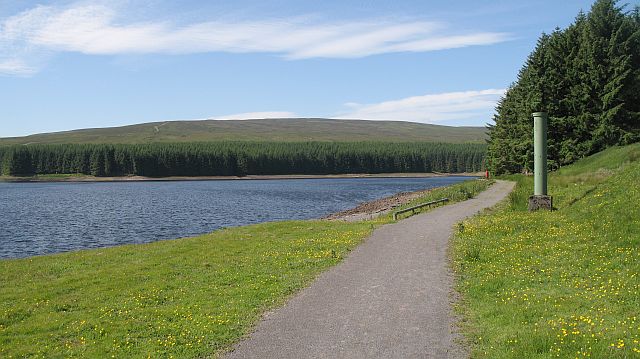
![]() Enjoy a peaceful circular walk around this reservoir in Weardale. There's a parking area at the south eastern tip of the water where you can start your walk. Follow the trails around the reservoir where there are some woodland trails and lakeside paths to enjoy. It's a very quiet place with a series of picnic tables where you can stop to enjoy the lovely scenery of the North Pennines AONB.
Enjoy a peaceful circular walk around this reservoir in Weardale. There's a parking area at the south eastern tip of the water where you can start your walk. Follow the trails around the reservoir where there are some woodland trails and lakeside paths to enjoy. It's a very quiet place with a series of picnic tables where you can stop to enjoy the lovely scenery of the North Pennines AONB.
You extend your walking in the area by exploring Burnhope Moor and climbing to Burnhope Seat, the highest point in County Durham.
You can also pick up the Weardale Way long distance trail, just to the east of the reservoir. Here you can enjoy a riverside walk to Wearhead and Gowshill.
To continue your reservoir walking head south to Cow Green Reservoir and Cauldron Snout where there's nice waterside trails and a visit to a beautiful waterfall.
Burnhope Reservoir Ordnance Survey Map  - view and print off detailed OS map
Burnhope Reservoir Open Street Map  - view and print off detailed map
Burnhope Reservoir OS Map  - Mobile GPS OS Map with Location tracking
Burnhope Reservoir Open Street Map  - Mobile GPS Map with Location tracking
Further Information and Other Local Ideas
At the nearby Nenthead mining heritage centre you can learn all about the lead and zinc mining history of the North Pennines. There's also mine entrances, dumps, old buildings, reservoirs and some rare plants growing on the metal-rich mine dumps. The area is located a few miles to the north west and well worth a visit.
Just east of Nenthead there's also Allenheads where you will find more ruined mines, a heritage centre and a decent pub dating back to 1770.
Cycle Routes and Walking Routes Nearby
Photos
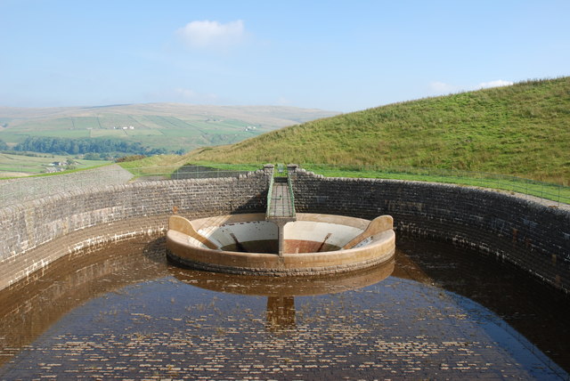
Burnhope Reservoir overflow. Standing on the dam, looking North East. This giant plughole is a shaft which takes water into the stream when the water levels in the reservoir get too high.


