Canford Heath
![]()
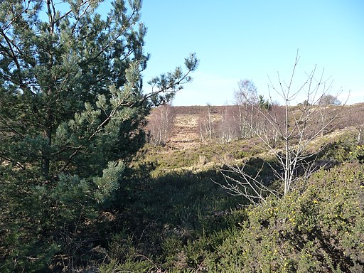
![]() Enjoy a circular walk around the expansive Canford Heath on this route in Poole. The heathland has miles of good walking trails with interesting flora and fauna to see.
Enjoy a circular walk around the expansive Canford Heath on this route in Poole. The heathland has miles of good walking trails with interesting flora and fauna to see.
The walk starts from the Gravel Hill Car Park located near Poole Grammar School and the Crematorium on Gravel Hill Road (postcode BH17 9BJ). The car park holds about 10 cars and provides easy access to the footpaths on the heath. The route heads east from here along a shared cycling and walking path running along the southern side of the heath. You'll pass Lodge Hill before coming to the Knighton Golf Heath Club near Alderney.
The route then turns north east towards Eastlands Farm where there are some nice woodland trails at the northern fringes of the heath. You then turn south past a pond before following Longfleet Drive back towards the car park.
The 850 acre site is also a nature reserve so keep your eyes peeled for wildlife including Dartford warbler and Nightjar.
Postcode
BH17 9BJ - Please note: Postcode may be approximate for some rural locationsCanford Heath Ordnance Survey Map  - view and print off detailed OS map
Canford Heath Open Street Map  - view and print off detailed map
Canford Heath OS Map  - Mobile GPS OS Map with Location tracking
Canford Heath Open Street Map  - Mobile GPS Map with Location tracking
Dog Walking
The heathland and woodland are an excellent place to walk your dog. You'll probably see plenty of other owners on a fine day. Please keep them on a short lead during bird breeding though: 1 March to 31 July every year, and when livestock is near.
Further Information and Other Local Ideas
To continue your walking in the Poole area try our Poole Harbour, Quay and Park Walk or head to the coastal Baiter Park and Whitecliff Park. There's also the long distance Poole Harbour Trail to try.
On the western side of the heath you'll find Delph Woods in Corfe Mullen. The nature reserve includes some peaceful trails running along a pretty stream.


