Corfe Mullen Walks
![]()
![]() Corfe Mullen sits on the northern outskirts of the Dorset town of Poole.
Corfe Mullen sits on the northern outskirts of the Dorset town of Poole.
It's very close to both Upton Heath and Upton Country Park where there are some fine walking trails and lots of wildlife to see.
The Castleman Trailway also runs through the area. This could be followed north to visit the historic Minster in Wimborne. Here you can link up with the Stour Valley Way and enjoy some pleasant riverside walks around Pamphill, Sturminster Marshall and the National Trust's Kingston Lacy.
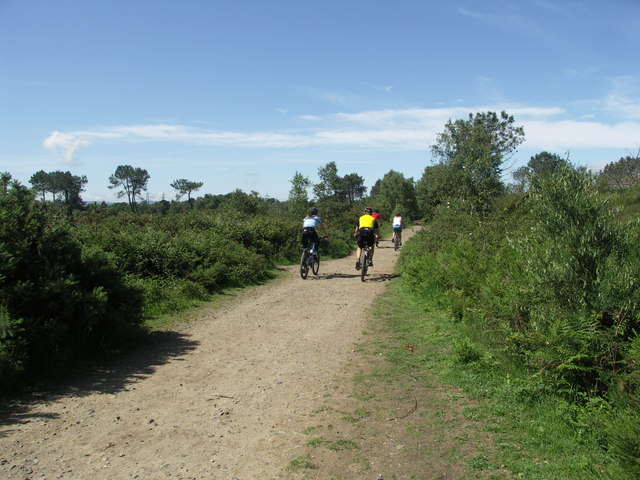
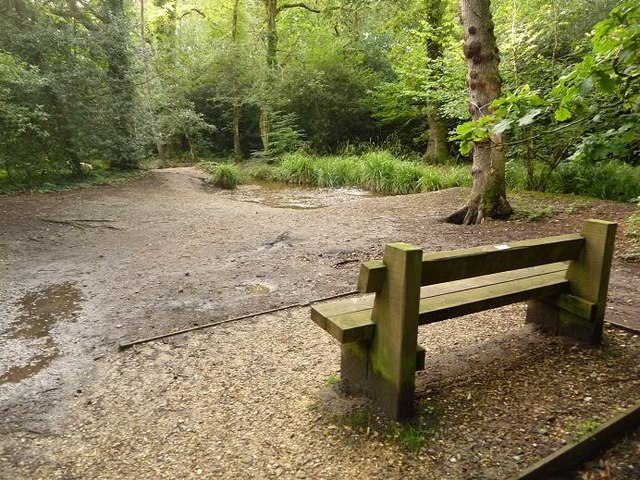
This walk explores the Upton Heath Nature Reserve before following the Castleman Trailway up to the nearby Delph Woods and Dunyeats Nature Reserve. You can extend the walk by exploring Canford Heath which lies just to the east of Delph Woods. The woods are a pleasant local place for a stroll with peaceful shady paths, a pretty stream and lots of wildlife to look out for.
Corfe Mullen Ordnance Survey Map  - view and print off detailed OS map
Corfe Mullen Open Street Map  - view and print off detailed map
Corfe Mullen OS Map  - Mobile GPS OS Map with Location tracking
Corfe Mullen Open Street Map  - Mobile GPS Map with Location tracking
Walks near Corfe Mullen
- Upton Heath - This local nature reserve is located in the Corfe Mullen/Broadstone/Creekmoor area of Poole in Dorset.
- Upton Country Park - Upton Country Park, consists of 100 acres of parkland situated on the north west edge of Poole, Dorset
- Canford Heath - Enjoy a circular walk around the expansive Canford Heath on this route in Poole
- Castleman Trailway - Travel from Ringwood to Poole along the disused Southampton to Dorchester railway line on this easy cycle and walking route
- Poole - This walk takes you along Poole Quay to Baiter Harbourside Park and Poole Park on the Dorset coast
- Wimborne - This circular walk around the Dorset town of Wimborne Minster uses part of the Stour Valley Way long distance trail to take you along the river and through the surrounding countryside.
- Stour Valley Way - This splendid walk takes you along the River Stour from Hengistbury Head on the Dorset south coast to Stourton in Wiltshire
- Baiter Park - Enjoy a cycle or walk through this harbourside park in Poole
- Pamphill - This delightful Dorset settlement near Wimborne includes typical village features such as a picturesque green, a cricket pitch, a fine old church and quaint thatched cottages.
- Kingston Lacy - Explore the extensive parkland and gardens surrounding this lavish country mansion near Wimborne Minster in Dorset
- Sturminster Marshall - This walk from the Dorset village of Sturminster Marshall explores the National Trust's White Mill before following a section of the Stour Valley Way to Kingston Lacy, Pamphill and Wimborne.
- North Dorset Trailway - This splendid walking and cycling path runs along a dismantled railway line from Stalbridge to Spetisbury in Dorset
- Canford Heath - Enjoy a circular walk around the expansive Canford Heath on this route in Poole
- Delph Woods - This woodland nature reserve is located near Wimborne and Poole in Dorset.
Photos
Creekmoor Ponds - these lie just to the east of the route, near Upton Heath. You could take a small detour at the southern end of the route to visit them. This is taken on the wooden jetty on the north side of the ponds. These ponds are man-made and actually large enough to be called Creekmoor Lakes. They are situated right in the centre of the Creekmoor housing estate and are popular with walkers, dog walkers, cyclists and ducks!


