Cheriton Walks
![]()
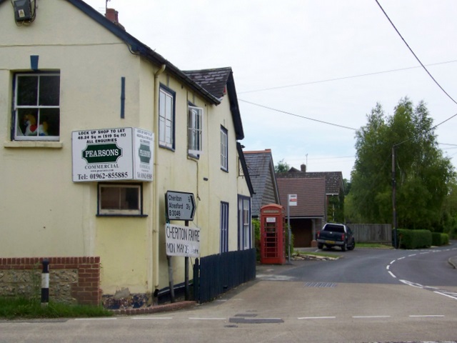
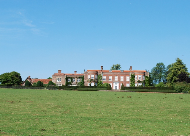
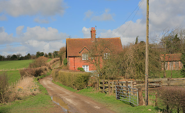
![]() This pretty Hampshire based village is home to a lovely National trust property, a 13th century church, prettty thatched cottages and some fine country views. Cheriton has pleasant walks along the River Itchen and two significant waymarked walking trails running through the area. There's also some interesting history with the site of the Battle of Cheriton in 1644. The battle was part of the English Civil War that took place about one mile to the east of the village in the 17th century.
This pretty Hampshire based village is home to a lovely National trust property, a 13th century church, prettty thatched cottages and some fine country views. Cheriton has pleasant walks along the River Itchen and two significant waymarked walking trails running through the area. There's also some interesting history with the site of the Battle of Cheriton in 1644. The battle was part of the English Civil War that took place about one mile to the east of the village in the 17th century.
Cheriton is located just to the south of the town of New Alresford.
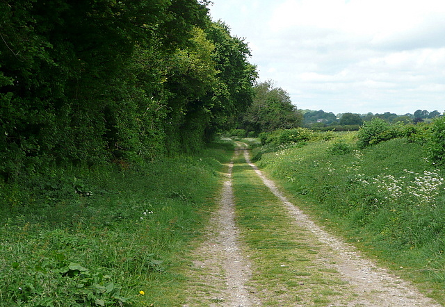
This circular walk explores the surrounding countryside visiting Hinton Ampner and the Source of the River Itchen on the way. Part of the route uses sections of the Wayfarer's Walk and the Itchen Way which starts just to the south of the settlement.
Postcode
SO24 0QQ - Please note: Postcode may be approximate for some rural locationsCheriton Ordnance Survey Map  - view and print off detailed OS map
Cheriton Open Street Map  - view and print off detailed map
*New* - Walks and Cycle Routes Near Me Map - Waymarked Routes and Mountain Bike Trails>>
Cheriton OS Map  - Mobile GPS OS Map with Location tracking
Cheriton Open Street Map  - Mobile GPS Map with Location tracking
Walks near Cheriton
- Hinton Ampner - Explore the beautiful gardens surrounding this stately home near New Alresford in Hampshire
- Wayfarer's Walk - Starting at the town of Emsworth on Chichester Harbour, follow this fabulous 70 mile walk through the heart of Hampshire and on into Berkshire.
You will pass through the pretty Hampshire towns and villages of Cheriton, Droxford, Hambledon and New Alresford while also experiencing the beautiful landscape and wildlife in this special county.
The path is easy to follow as it is waymarked by metal and plastic disks attached to wooden and metal posts.
Highlights on the route in include the National Trust owned Hinton Ampner stately home with its wonderful gardens and Watership Down - the delightful setting for Richard Adams' 1972 novel - Itchen Way - Follow the River Itchen from its mouth at Woolston to its source near Hinton Ampner on this beautiful waterside walk
- Cheesefoot Head - This circular walk visits a large natural amphitheatre near Winchester before exploring the surrounding area on a network of footpaths
- The South Downs Way - This beautiful 100 mile long trail runs from Winchester to the coastal town of Eastbourne
- Alresford - This attractive Hampshire based town has some lovely walks along the two rivers which flow through the area
- Oxdrove Way - The Oxdrove Way is an off road cycle trail and walking path which forms a figure of eight through the rolling downland, woods and farmland of the Hampshire countryside around New Alresford
- Itchen Abbas - This pretty little Hampshire based village is located in a lovely spot on the River Itchen near to Winchester
- West Meon - The village of West Meon is in a splendid location for exploring the lovely Meon Valley and the South Downs
- Meon Valley Trail - This peaceful cycling and walking trail runs along a disused railway track from West Meon to Wickham via Droxford
- Winchester River Walk - A lovely circular walk along the River Itchen and Itchen Navigation in Winchester
- Winchester Circular Walk - This circular walk takes you around the city of Winchester in Hampshire
- St Catherine's Hill Winchester - Climb this small hill in Winchester for fine views over the town, the River Itchen and the surrounding countryside of the South Downs
Pubs/Cafes
Back in the village head to The Flower Pots for some post walk refreshment. The attractive red brick building dates back to the 1830s when it was originally a farmhouse. They serve fine food and have a lovely large garden area to relax in. You can find them at Brandy Mount, SO24 0QQ.
Further Information and Other Local Ideas
To the east of the settlement there's some nice peaceful woodland trails around Cheriton Wood.
Head south from the village to neighbouring West Meon and you could explore the lovely Meon Valley on the Meon Valley Trail. The shared cycling and walking trail also links up with The South Downs Way National Trail which can be used to climb to the viewpoint on Beacon Hill.
The Alresford Rivers Walk is a nice circular walk to try in the nearby town. It will take you along the River Alre and the River Itchen which run through the area.


