Wayfarer's Walk
![]()
![]() Starting at the town of Emsworth on Chichester Harbour, follow this fabulous 70 mile walk through the heart of Hampshire and on into Berkshire.
Starting at the town of Emsworth on Chichester Harbour, follow this fabulous 70 mile walk through the heart of Hampshire and on into Berkshire.
You will pass through the pretty Hampshire towns and villages of Cheriton, Droxford, Hambledon and New Alresford while also experiencing the beautiful landscape and wildlife in this special county.
The path is easy to follow as it is waymarked by metal and plastic disks attached to wooden and metal posts.
Highlights on the route in include the National Trust owned Hinton Ampner stately home with its wonderful gardens and Watership Down - the delightful setting for Richard Adams' 1972 novel.
The route passes the wonderful 5000 acre estate surrounding Highclere Castle in Hampshire. The house is famous as the location of period drama 'Downton Abbey' and includes the excellent viewpoint at Beacon Hill. There are also some lovely waterside stretches to enjoy at Cheriton along the River Itchen and along the River Arle at New Alresford. The walk finishes at Walbury Hill, the highest point in Berkshire and the South East of England.
Wayfarer's Walk Ordnance Survey Map  - view and print off detailed OS map
Wayfarer's Walk Open Street Map  - view and print off detailed map
*New* - Walks and Cycle Routes Near Me Map - Waymarked Routes and Mountain Bike Trails>>
Wayfarer's Walk OS Map  - Mobile GPS OS Map with Location tracking
Wayfarer's Walk Open Street Map  - Mobile GPS Map with Location tracking
Pubs/Cafes
The Ship Inn in Langstone is superbly positioned for a pit stop on the route. The family-friendly seaside pub overlooks Sweare Deep and Emsworth Harbour. There's a fantastic outdoor area right next to the water and a cosy interior with a warming fire. You can find the pub in Langstone with a postcode of PO9 1RD for your sat navs.

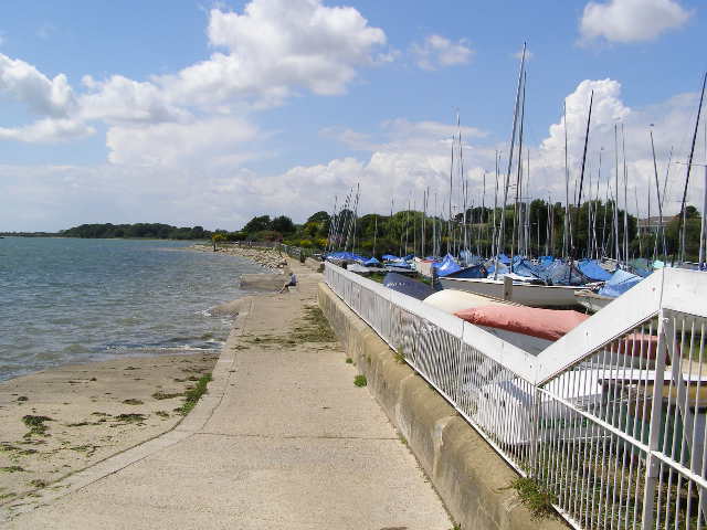
Pictured above the Ship Inn at Langstone. A great place to relax outside with a drink on a summer day.
In the Hampshire village of Denmead, there's The Fox and Hounds. They have a lovely sheltered patio garden with vines and clematis climbing a twinkling light covered pergola. There's also covered dining pods with heat and light so you can still dine outside if the weather is not too clever. They are located on the edge of the village at School Lane at postcode PO7 6NA for your sat navs. Near the village you can also take a small detour from the route to visit Creech Woods in the Forest of Bere.
In Cheriton The Flower Pots is well worthy of some consideration.
The attractive red brick building dates back to the 1830s when it was originally a farmhouse. They serve fine food and have a lovely large garden area to relax in.
You can find them at Brandy Mount, SO24 0QQ.
The pretty village is a pleasant place for a stroll too. There's a 13th century church some picturesque thatched cottages and the site of the Battle of Cheriton which took place as part of the English Civil War in 1544. This is located about a mile east of the village near Cheriton Wood.
Cycle Routes and Walking Routes Nearby
Photos
Long distance track, seen here just west of Freemantle Farm. The flint of the underlying Downs is easily visible on the track surface. The path runs between Emsworth and Inkpen Beacon.
Elevation Profile


