Colliford Lake
![]()
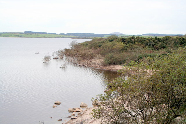
![]() Enjoy a lovely waterside walk along the shore of this large lake on Bodmin Moor. At over 900 acres it is the largest lake in Cornwall.
Enjoy a lovely waterside walk along the shore of this large lake on Bodmin Moor. At over 900 acres it is the largest lake in Cornwall.
The walk starts at the parking area at the western end of the lake and follows a waterside trail along the shore to the dam and valve tower at the southern end. The area is a nature reserve so look out for a wide variety of birdlife on the water and Bodmin ponies around the water.
You can extend your walking in the area by visiting the mysterious Dozmary Pool. The walk starts from the parking area at the south of the lake and follows a country lane with great views back to Colliford Lake.
You could also head a few miles north and climb to Brown Willy, Rough Tor - the two highest points on the moor.
Postcode
PL14 6PL - Please note: Postcode may be approximate for some rural locationsColliford Lake Ordnance Survey Map  - view and print off detailed OS map
Colliford Lake Open Street Map  - view and print off detailed map
Colliford Lake OS Map  - Mobile GPS OS Map with Location tracking
Colliford Lake Open Street Map  - Mobile GPS Map with Location tracking
Explore the Area with Google Street View 
Pubs/Cafes
At the northern end of the lake there's the Colliford Tavern for refreshments. They do a nice cream tea which you can enjoy with fine views over the lake from the outdoor seating area. They also provide accommodation in the shape of a hotel and adjacent campsite. You can find it at a postcode of PL14 6PZ.
Dog Walking
The lake is a nice place to take the dog for a walk and the tavern mentioned above is also dog friendly.
Further Information and Other Local Ideas
To the east you'll find the smaller Siblyback Lake. There's a nice cycling and walking trail running around the lake where you can look out for a variety of wildlife. The popular Golitha Falls are just south of Siblyback. There's a lovely wooded trail and rushing falls in this splendid nature reserve.
A few miles to the south east you can explore the historic town of Liskeard, one of the oldest towns in Cornwall.
Head west and you could visit Blisland where you can pick up the Camelford Way, the Copper Trail and the popular Camel Trail which runs along a shared cycling and walking path. Here you'll also find the Blisland Inn, an award winning pub of some note, having been voted three times Cornwall CAMRA Pub of the Year and in 2001 becoming the campaign's national Pub of the Year. It's a fine place to visit if you are looking for a refreshing beverage after your walk.
For more walking ideas in the area see the Cornwall Walks and the Bodmin Moor Walks page.
Cycle Routes and Walking Routes Nearby
Photos
Highland cattle near Colliford Lake. These fine beasts are grazing an area of rough access land on Colliford Downs just southeast of the lake. Beyond the gorse-covered field boundary, a hill of improved grass hides the southern end of the lake from view. Seen from the road up the eastern side of the lake.
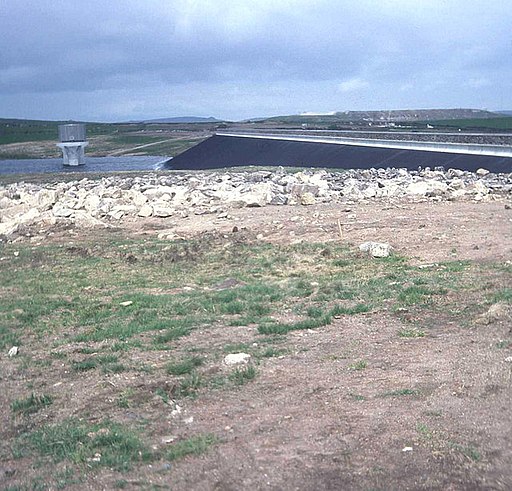
Colliford dam. Looking eastwards from the car park shortly after construction in 1983. Colliford supplies parts of North and South East Cornwall directly. It also makes releases to the River Fowey system which are abstracted and treated at Restormel and distributed throughout much of the rest of Cornwall.


