Combs Reservoir
![]()
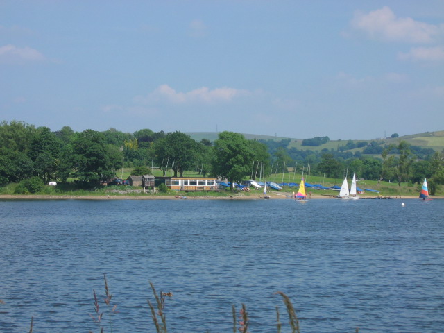
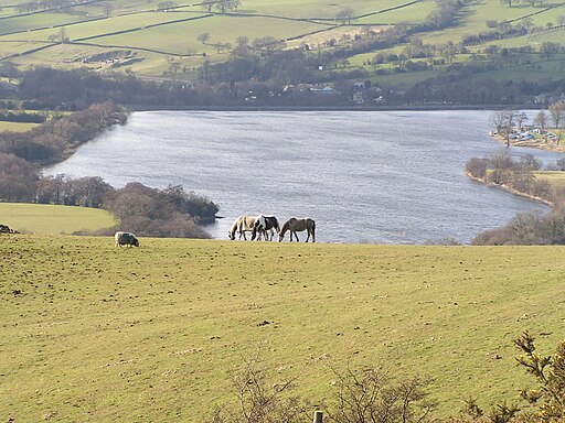
![]() This circular walk takes you around Combs Reservoir near Chapel-en-le-Frith on the edge of the Peak District National Park. You can park on the western side of the reservoir and then follow the shoreline footpath towards the village of Combs. In the village you will find the Beehive pub which is a nice place to stop for refreshments. From Combs you follow more public footpaths through the countryside on the eastern side of the water before country lanes take you back to the car park.
This circular walk takes you around Combs Reservoir near Chapel-en-le-Frith on the edge of the Peak District National Park. You can park on the western side of the reservoir and then follow the shoreline footpath towards the village of Combs. In the village you will find the Beehive pub which is a nice place to stop for refreshments. From Combs you follow more public footpaths through the countryside on the eastern side of the water before country lanes take you back to the car park.
The walk can also be started from Chapel en le Frith railway station. You would follow public footpaths west through the countryside via Marshegreen farm. It's about a mile from the station to the reservoir.
If you enjoy this walk then there are others you can try nearby. You could head north about a mile and climb Eccles Pike for splendid views over the Peak District. The Errwood and Fernilee Reservoirs Walk is just to the west where you can also explore the Errwood Estate with its old ruined hall and peaceful woodland with azaleas and rhododendrons.
Postcode
SK23 9UH - Please note: Postcode may be approximate for some rural locationsCombs Reservoir Ordnance Survey Map  - view and print off detailed OS map
Combs Reservoir Open Street Map  - view and print off detailed map
Combs Reservoir OS Map  - Mobile GPS OS Map with Location tracking
Combs Reservoir Open Street Map  - Mobile GPS Map with Location tracking
Explore the Area with Google Street View 
Pubs/Cafes
Just to the west of the reservoir you'll find the Shady Oak in Fernilee. The pub is a great position overlooking the Goyt Valley. There's a good menu, a pub garden and it is also dog friendly. You can find it on Long Hill Road at a postcode of SK23 7HD for your sat navs.
Further Information and Other Local Ideas
Just a mile south east of the lake there's some splendid rock formations and an excellent viewpoint to be found at Castle Naze. The Promontory fort on Combs Edge commands fine views down to the reservoir and across the surrounding Peak District hills. Continuing south from here would take you across Combs Moss, a plateau-topped hill with a high point of 503 metres.
For more walking ideas in the area see the White Peak Walks and Peak District Walks page.


