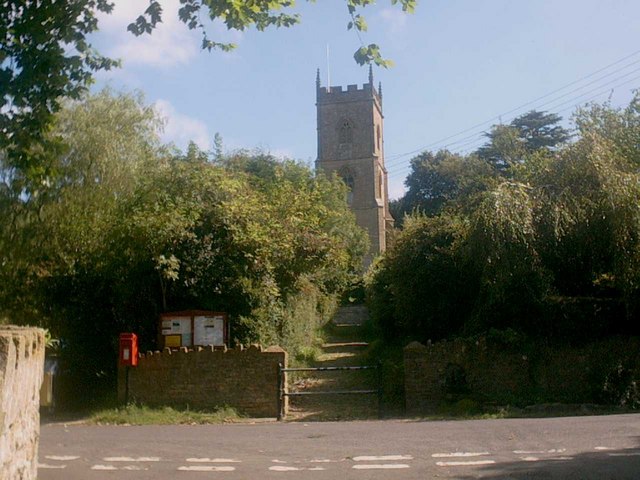
Corton Denham Walks
![]()
![]() This Somerset based village is a nice place to start a walk with two significant waymarked trails passing through the settlement.
This Somerset based village is a nice place to start a walk with two significant waymarked trails passing through the settlement.
This route uses sections of the Macmillan Way and the Monarch's Way to create a circular walk around the village. On the way you'll visit the scenic Corton Ridge and the neighbouring Sandford Orcas with its impressive manor house.
The walk starts in the village and heads west along Ridge Lane to link up with the Monarch's Way. Follow the waymarked footpath south and it will take you along the Corton Ridge towards Stafford's Green Farm. The route then continues to Sandford Orcas Manor House.
You continue south to Higher Sandford before turning north to Holway and Stafford's Green with Poyntington Down to your east. You then past the Wheat Sheaf Hill Reservoir before returning to Corton Denham.
Postcode
DT9 4LR - Please note: Postcode may be approximate for some rural locationsCorton Denham Ordnance Survey Map  - view and print off detailed OS map
Corton Denham Open Street Map  - view and print off detailed map
Corton Denham OS Map  - Mobile GPS OS Map with Location tracking
Corton Denham Open Street Map  - Mobile GPS Map with Location tracking
Walks near Corton Denham
- Macmillan Way - This epic long distance path links Boston in Lincolnshire to Abbotsbury in Dorset
- Monarch's Way - This incredible 615-mile walk approximates the escape route taken by King Charles II in 1651 after being defeated in the Battle of Worcester
- Leland Trail - Follow in the footsteps of royal librarian John Leland during his 16th century survey of Britain's churches and priories.
You start at King Alfred's Tower at the north-western edge of the Stourhead in Wiltshire and head west towards Bruton and Castle Cary Walk in Somerset - Cadbury Castle - Climb to this Iron Age hillfort on Cadbury Hill on this short walk in Somerset
- Castle Cary - This attractive Somerset based market town is well located with several waymarked footpaths heading into the countryside in all directions
- Sherborne Castle - This walk explores the grounds and gardens of Sherborne Castle before passing along Sherborne lake to the nearby Sherborne Old Castle. It's a lovely walk with waterside paths along the 50 acre lake, woodland trails and a beautiful 42 acre landscaped garden with specimen trees, herbaceous borders and sweeping lawns.
- Wincanton - This Somerset based town has some nice trails along the River Cale and a major national long distance footpath running through it
- Yeovil Country Park - This park, also known as Ninesprings Country Park, is situated in Yeovil, near the town centre
Pubs/Cafes
Head to the Queens Arms for refreshment after your walk. The 18th century inn has a good menu and provides accommodation too. You can find them at postcode DT9 4LR for your sat navs.
Dog Walking
The country trails make for a fine dog walk and the Queens Arms mentioned above is also dog friendly.
Further Information and Other Local Ideas
Just to the north you can enjoy a climb to Cadbury Castle. The hill is thought to be the site of King Arthur's Camelot and has a fascinating history. There are excellent views over the countryside from the summit of the hill. The Leland Trail can also be picked up here.
Just to the south there's Sherborne Castle in Dorset to explore.
For more walking ideas in the area see the Somerset Walks page.
Photos
Corton Gorse. The name given to this area if not this field on the 1:25K map on which the isolated trees in the middle are also shown. The west side of Corton Ridge is cattle grassland running steeply down to Sutton Farm (just in the north-west corner of the square) seen in the background.


