Cowal Way Walk Map
![]()
![]() This stunning walk starts at Portavadie on the banks of Loch Fyne and heads to Inveruglas.
This stunning walk starts at Portavadie on the banks of Loch Fyne and heads to Inveruglas.
The route passes the Kyles of Bute, Loch Ruel and Tighnabruaich before joining the River Ruel for a riverside stretch. You then pass Loch Goil, Arrochar and Loch Long before finishing on west shore of Loch Lomond at Inverugla.
Cowal Way Ordnance Survey Map  - view and print off detailed OS map
Cowal Way Open Street Map  - view and print off detailed map
*New* - Walks and Cycle Routes Near Me Map - Waymarked Routes and Mountain Bike Trails>>
Cowal Way OS Map  - Mobile GPS OS Map with Location tracking
Cowal Way Open Street Map  - Mobile GPS Map with Location tracking
Further Information and Other Local Ideas
At the end of the route you could catch a boat to the opposite side of the water to visit the splendid Inversnaid Falls, the Inversnaid RSPB Nature Trail and Loch Arklet.
For more walking ideas in the area see the Loch Lomond and the Trossachs Walks page.
Cycle Routes and Walking Routes Nearby
Photos
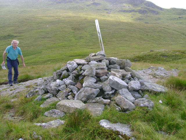
This cairn close to the saddle between Cnoc Coinnich and The Brack is adorned with a fencepost daubed with white paint to indicate the route of an indistinct path which forms part of the trail.
Elevation Profile


