Crackington Haven Circular Walk
![]()
![]() This circular walk explores the area around the village of Crackington Haven on the Cornish coast.
This circular walk explores the area around the village of Crackington Haven on the Cornish coast.
The area is popular with walkers with interesting rock formations, a beach and fine views from the cliff tops.
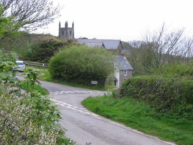
The walk starts from the Crackington Haven car park next to the beach. Here you can pick up the South West Coast Path and follow it north past the waterfall to Castle Point. The route then heads indland to visit the little hamlet of St Gennys. There's a noteworthy old church here which dates from the Norman period.
The walk then returns to the coast and follows the cliffs back to the car park.
If you continue north along the coast path it will take you to Bude where you can enjoy a lovely waterside walk along the Bude Canal or visit the wildlife rich Bude Marshes.
Postcode
EX23 0JG - Please note: Postcode may be approximate for some rural locationsCrackington Haven Ordnance Survey Map  - view and print off detailed OS map
Crackington Haven Open Street Map  - view and print off detailed map
Crackington Haven OS Map  - Mobile GPS OS Map with Location tracking
Crackington Haven Open Street Map  - Mobile GPS Map with Location tracking
Pubs/Cafes
The Cabin Cafe is located near to the car park and beach. There's a good menu here with particularly delicious cakes. The cafe has large windows with a fabulous view of the sea. They are also dog friendly.
There's also the Coombe Barton Inn where there's a nice outdoor seating area overlooking the sea front.
Further Information and Other Local Ideas
Head south along the coast path and it will take you to Boscastle where you can pick up the Boscastle to Tintagel Walk. This will take you to the wonderful coastal castle at Tintagel. The Boscastle to Crackington Haven Walk will take you to the village, notably passing High Cliff, the highest point on the Cornish coast.
Cycle Routes and Walking Routes Nearby
Photos
Crackington Haven, looking inland. Looking up into the valley of the unnamed river (at 1:25,000 scale, at least) which flows into the sea here. The Coombe Barton Inn is the prominent building.
Rocky shore. The rocky south side of the bay at Crackington, creating many small rock-pools when the tide is out as it is now.
Lawn and beach. Looking across a private lawn, with the beach and the coastline to Bray's Point (far left) beyond. Cambeak is the farmost headland.


