Bude to Sandymouth Circular Walk
![]()
![]() This circular walk on the Cornish coast takes you to Northcott Mouth and Sandymouth from popular the town of Bude.
This circular walk on the Cornish coast takes you to Northcott Mouth and Sandymouth from popular the town of Bude.
The walk starts at the Summerleaze Beach car park at Bude where you can pick up the South West Coast Path and follow it north along the cliff top path to Crooklets Beach, Wrangle Point and Maer Down.
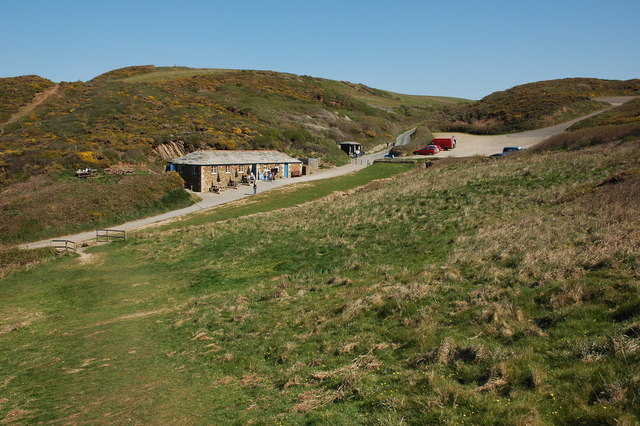
You continue north past Menachurch Point to Sandy Mouth where you'll find a lovely National Trust beach, waterfalls and a nice cafe for refreshments.
After enjoying the beach you can then return to Bude on alternative country footpaths, taking you through the village of Flexbury.
Postcode
EX23 8HJ - Please note: Postcode may be approximate for some rural locationsBude to Sandymouth Circular Walk Ordnance Survey Map  - view and print off detailed OS map
Bude to Sandymouth Circular Walk Open Street Map  - view and print off detailed map
Bude to Sandymouth Circular Walk OS Map  - Mobile GPS OS Map with Location tracking
Bude to Sandymouth Circular Walk Open Street Map  - Mobile GPS Map with Location tracking
Further Information and Other Local Ideas
If you follow the coast path south for a few miles you can pick up the circular Crackington Haven Walk. It's another popular local area for walking with fine cliff top views and a nice beach. There's good facilities too with a car park and a beach-side pub with sea views. The walk includes a visit to the historic Norman church at the little hamlet of St Gennys.
You can also pick up the Boscastle to Crackington Haven Walk here. This takes you south to Boscastle, passing High Cliff, the highest point on the Cornish coast on the way.
Cycle Routes and Walking Routes Nearby
Photos
Sloping rock face, Maer Cliff. Seen from the cliff path, the tilted sandstone slab slopes down to the beach, which has a wave-cut platform of these dipping strata.


