Croft Castle Walk
1.7 miles (2.8 km)
![]()
![]() This walk explores the grounds and gardens of the National Trust's Croft Castle near Leominster and Ludlow in Herefordshire.
This walk explores the grounds and gardens of the National Trust's Croft Castle near Leominster and Ludlow in Herefordshire.
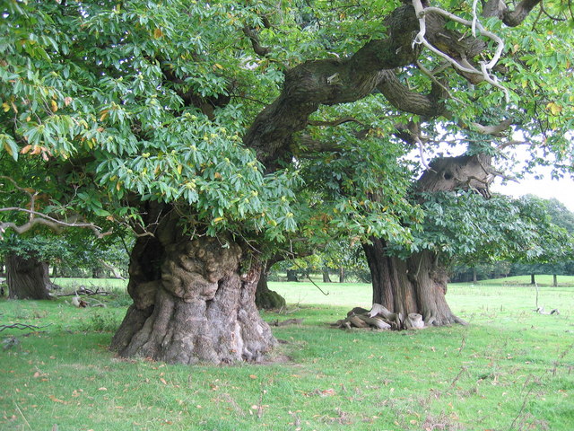
Park at the National Trust car park and you can pick up footpaths heading around the castle to the walled garden with its lovely herbaceous border. There's also a chestnut avenue with some splendid ancient trees to see, just to the north of the castle.
You can extend your walk by heading north from the castle to climb Croft Ambrey Hill Fort where you can enjoy great views over the area.
Postcode
HR6 9PW - Please note: Postcode may be approximate for some rural locationsPlease click here for more information
Croft Castle Ordnance Survey Map  - view and print off detailed OS map
Croft Castle Open Street Map  - view and print off detailed map
*New* - Walks and Cycle Routes Near Me Map - Waymarked Routes and Mountain Bike Trails>>
Croft Castle OS Map  - Mobile GPS OS Map with Location tracking
Croft Castle Open Street Map  - Mobile GPS Map with Location tracking
Further Information and Other Local Ideas
Just to the east of the castle there's some nice woodland trails to follow through Bircher Common.
For more walking ideas in the area see the Herefordshire Walks page.


