Cullen Viaduct Walk
![]()
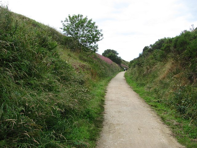
![]() This walk takes you along the old Moray Firth coast line in Cullen. The disused railway line is now a pleasant cycling and walking trail that can be followed to nearby Portknockie.
This walk takes you along the old Moray Firth coast line in Cullen. The disused railway line is now a pleasant cycling and walking trail that can be followed to nearby Portknockie.
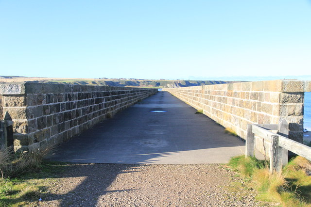
The flat multi user path runs for just over 1.5 miles, passing the photogenic Cullen Viaduct on the way. The impressive structure is one of the local highlights and often features in tourist guides and Scottish calendars. On the walk there's some excellent views of the surrounding coast and countryside.
You can turn the linear route into a longer circular walk on the Cullen to Portknockie Walk which follows the Moray Coast Trail along Cullen Bay and Beach.
Cullen Viaduct Ordnance Survey Map  - view and print off detailed OS map
Cullen Viaduct Open Street Map  - view and print off detailed map
Cullen Viaduct OS Map  - Mobile GPS OS Map with Location tracking
Cullen Viaduct Open Street Map  - Mobile GPS Map with Location tracking
Further Information and Other Local Ideas
To continue your walking in the area you could try the Cullen to Findlater Castle Walk which will take you east along the coast path to Findlater Castle. The photogenic castle dates back to the 14th century and is positioned in a dramatic coastal location. The Portsoy To Cullen Coastal Walk continues further east to Portsoy via the lovely secluded beach at Sandend Bay. Here you can also try the Portsoy Railway Walk. This short walk takes you along the old railway line to the Loch of Soy where there's some pleasant waterside footpaths.
Cycle Routes and Walking Routes Nearby
Photos
Cullen Viaduct. Cullen Railway Station and line was recommended for closure by Dr Beeching's report "The Reshaping of British Railways" and closed on 6 May 1968.


