Dalemain House Estate
2.5 miles (4 km)
![]()
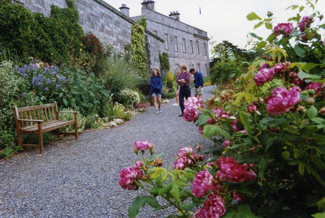
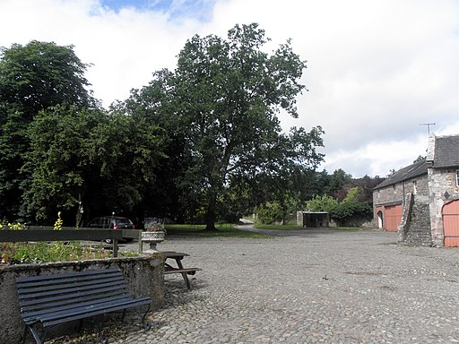
![]() Explore 5 acres of celebrated gardens and acres of historic parkland in the estate of this splendid Georgian house. Dalemain is located in the Lake District National Park very close to the beautiful Ullswater Lake and Pooley Bridge. The park includes a herd of red deer, lovely gardens and the River Eamont.
Explore 5 acres of celebrated gardens and acres of historic parkland in the estate of this splendid Georgian house. Dalemain is located in the Lake District National Park very close to the beautiful Ullswater Lake and Pooley Bridge. The park includes a herd of red deer, lovely gardens and the River Eamont.
For an alternative walk which starts from the nearby village of Dacre see the Dacre and Dalemain Walk.
Please click here for more information
Dalemain Estate Ordnance Survey Map  - view and print off detailed OS map
Dalemain Estate Open Street Map  - view and print off detailed map
Dalemain Estate OS Map  - Mobile GPS OS Map with Location tracking
Dalemain Estate Open Street Map  - Mobile GPS Map with Location tracking
Further Information and Other Local Ideas
For more walking ideas in the area see the Lake District Walks and the Cumbria Walks pages.


