Dacre and Dalemain Walk
![]()
![]() This walk takes you from the Lake District village of Dacre to the Dalemain House Estate.
This walk takes you from the Lake District village of Dacre to the Dalemain House Estate.
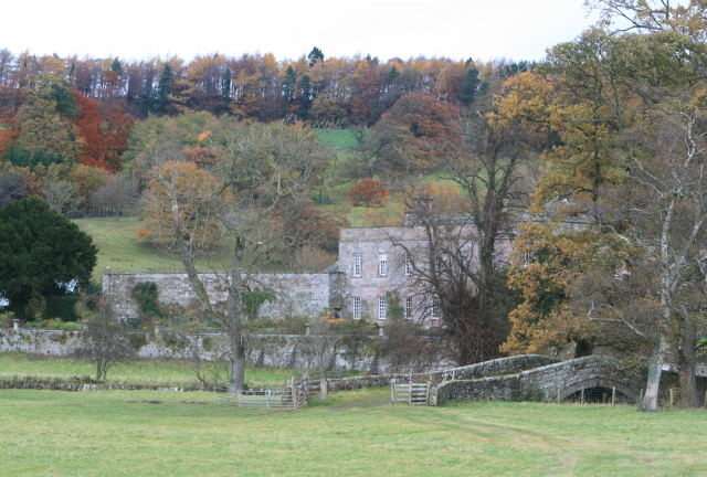
The country house near Ulswater is surrounded by acres of pretty gardens, woodland and parkland. The gardens are particularly lovely winning the Historic Houses Association Garden of the Year Award in 2013. These include a Tudor Knot Garden and the delightful Wild Garden with its pond and riverside walks along the River Eamont.
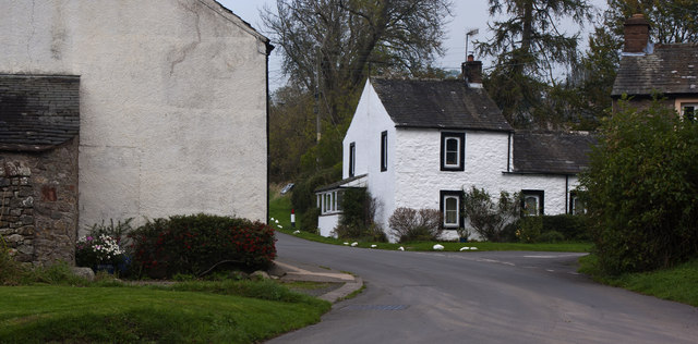
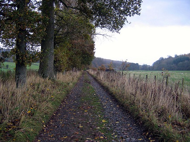
This walk follows a good footpath which runs from Dacre to the house. The path runs for just over a mile through the wider estate. You'll pass the deer park with 60 fallow deer and some lovely countryside. Dacre is a very pretty village with the 14th century moated Dacre Castle and an 18th century coaching inn, The Horse & Farrier. The church of St Andrew is also beautiful with memorials to the Dalemain family inside.
Postcode
CA11 0HB - Please note: Postcode may be approximate for some rural locationsPlease click here for more information
Dacre and Dalemain Ordnance Survey Map  - view and print off detailed OS map
Dacre and Dalemain Open Street Map  - view and print off detailed map
Dacre and Dalemain OS Map  - Mobile GPS OS Map with Location tracking
Dacre and Dalemain Open Street Map  - Mobile GPS Map with Location tracking
Further Information and Other Local Ideas
For more walking ideas in the area see the Lake District Walks and the Cumbria Walks pages.


