Delapre Abbey Park Walks
![]()
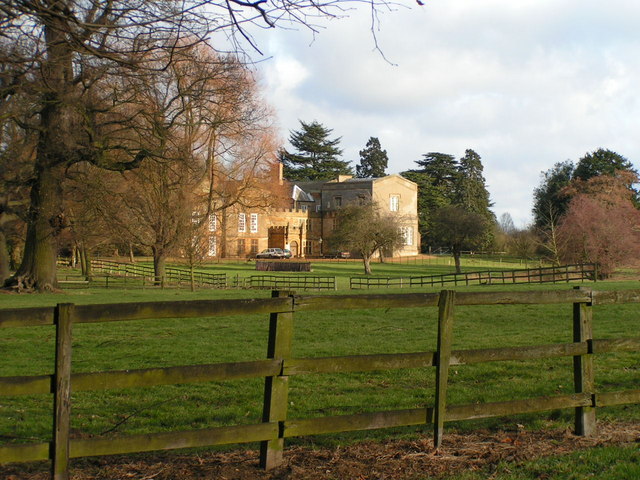
![]() Explore the grounds of a neo-classical mansion on this walk in Northampton.
Explore the grounds of a neo-classical mansion on this walk in Northampton.
The former monastery was founded in the 12th century when a community of nuns came to this peaceful area to create their nunnery the Abbey of St. Mary de la Pre. Today the site is a popular tourist attraction with 500 acres of parkland, lakes, woodland and gardens to explore.
The River Nene also runs past the northern side of the park. You could pick up the Nene Way and follow it west to link up with the Grand Union Canal Walk if you felt like extending your outing. There's also the climb and Iron Age hill fort at Hunsbury Hill Country Park about a mile to the west.
Postcode
NN4 8AR - Please note: Postcode may be approximate for some rural locationsPlease click here for more information
Delapre Abbey Park Ordnance Survey Map  - view and print off detailed OS map
Delapre Abbey Park Open Street Map  - view and print off detailed map
Delapre Abbey Park OS Map  - Mobile GPS OS Map with Location tracking
Delapre Abbey Park Open Street Map  - Mobile GPS Map with Location tracking
Pubs/Cafes
There's a pleasant on site cafe selling a good range of meals and snacks. Indoor and outdoor seating is available.
Dog Walking
The parkland is ideal for a dog walk so you will proably see other owners on your visit.
Cycle Routes and Walking Routes Nearby
Photos
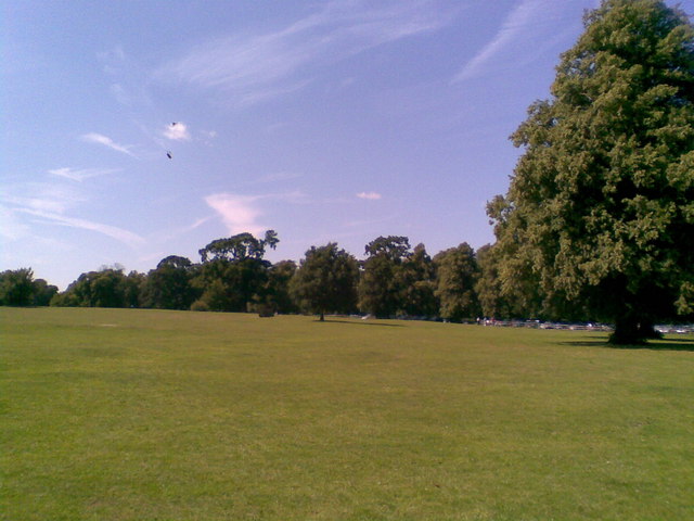
The Abbey's expansive sloping grounds are a nationally protected Wars of the Roses battlefield, as a one-time site of the advance of the Yorkists during the Battle of Northampton (1460).
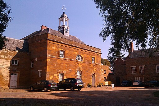
Delapré Abbey garden. The abbey was surrendered to the crown as part of the Dissolution of the Monasteries, closing in 1538. After much later use and alteration as a private residence and in World War II service, the house and its cluster of outbuildings which replaced the abbey in phased building works spanning the 16th to 18th centuries served as the Northamptonshire Record Office and the library of the related records society.


