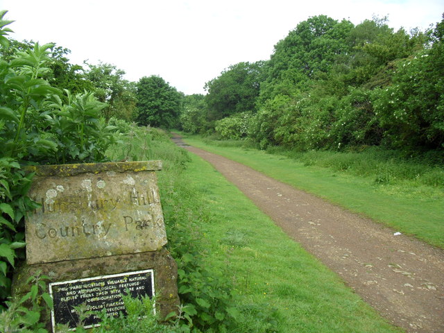
Hunsbury Hill Country Park
![]()
![]() This country park and Iron Age hill fort are located just to the south of Northampton.
This country park and Iron Age hill fort are located just to the south of Northampton.
You can enjoy a series of footpaths taking you up to the ancient fort which stands at a height of 113 metres. There's a nice wide lawn which is ideal for picnics on warm days.
To continue your walking in the area head just a mile to the east to visit Delapre Abbey Park. You'll find 500 acres of parkland, lakes, woodland and gardens surrounding a fine mansion which was once the site of a 12th century abbey.
Just a 10 minute walk west there's also the Grand Union Canal Walk with easy waterside trails along the towpath.
Postcode
NN4 9UE - Please note: Postcode may be approximate for some rural locationsHunsbury Hill Country Park Ordnance Survey Map  - view and print off detailed OS map
Hunsbury Hill Country Park Open Street Map  - view and print off detailed map
Hunsbury Hill Country Park OS Map  - Mobile GPS OS Map with Location tracking
Hunsbury Hill Country Park Open Street Map  - Mobile GPS Map with Location tracking
Pubs/Cafes
The on site Drovers Return cafe sells a good range of meals and snacks at reasonable prices.
Dog Walking
The park is a fine place for a dog walk so you'll probably meet other owners on your visit.


