Downe Circular Walk
![]()
![]() This circular walk explores the countryside and villages around Downe. On the route you will explore the countryside and woods where Charles Darwin observed the natural world, helping him cultivate his now world famous theories.
This circular walk explores the countryside and villages around Downe. On the route you will explore the countryside and woods where Charles Darwin observed the natural world, helping him cultivate his now world famous theories.
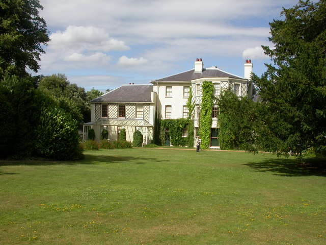
The walk starts at Down House where Darwin resided. The English Heritage owned house is now an interactive museum where you can learn all about his theories of evolution by natural selection.
From the house you head north into the village of Downe before turning north east into the countryside and farmland. The trail heads east through Cuckoo Wood and Hazelwood before coming to Foxbury Wood. Here you head south west past Mace Farm to the neighbouring village of Cudham.
From Cudham you head west through Single Street before turning north to follow a footpath along the West Kent Golf Club. You then head north east and then south to return to the village and Down House.
Postcode
BR6 7JT - Please note: Postcode may be approximate for some rural locationsDowne Circular Walk Ordnance Survey Map  - view and print off detailed OS map
Downe Circular Walk Open Street Map  - view and print off detailed map
Downe Circular Walk OS Map  - Mobile GPS OS Map with Location tracking
Downe Circular Walk Open Street Map  - Mobile GPS Map with Location tracking
Pubs/Cafes
After your exercise head to the Queen's Head in Downe for some refreshments. This 16th century pub was wwarded Pub of the Year 2014, by the Bromley section of CAMRA, and has been included in the good beer guides for 9 years. There's a cosy interior with several log fires, while outside there's a large walled patio / garden area for finer days. The pub includes the Darwin bar where the man himself used to drink. You can find the pub on the High Street with postcode BR6 7US for your sat navs.
Dog Walking
The woodland and country trails on the walk are great for dog walking. The Queen's Head pub mentioned above is also dog friendly inside and out.
Further Information and Other Local Ideas
To continue your walking around Downe you could try the circular Bromley Walk and visit the nearby Keston Common and Hayes Common, where there are some nice trails to try. You can also pick up the London Loop in the area and visit Orpington.
On the route just north of Cuckoo Wood there's also High Elms Country Park. You could take a small detour from the route to visit the park which includes 250 acres of countryside, woodlands, a nature centre, an ice well, formal gardens and wildflower meadows.
The Leaves Green Circular Walk starts from the delightful nearby village and visits Downe on its way through the area.
For more walking ideas in the area see the London Walks page.
Cycle Routes and Walking Routes Nearby
Photos
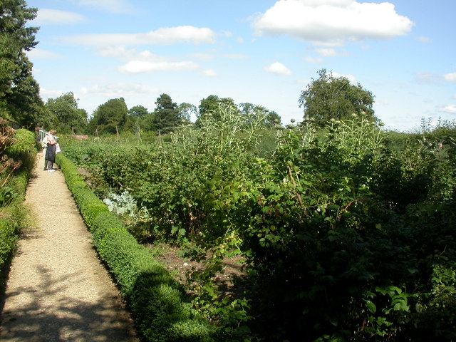
Down House, kitchen garden. Fruit and vegetables, as grown for use in Charles Darwin's household; raspberries, artichokes & currants on view here.
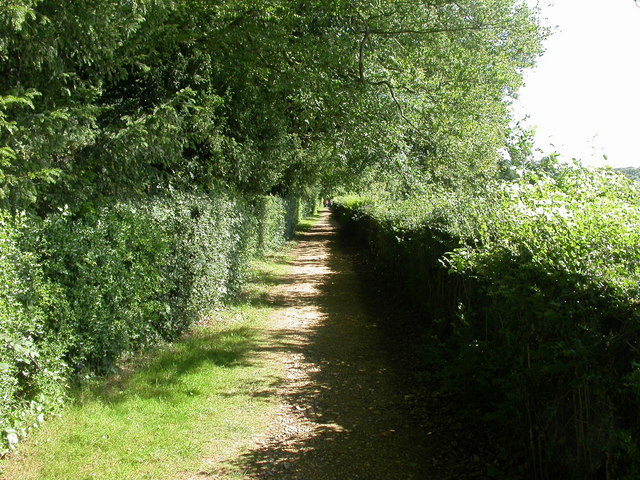
Down House, sandwalk. This is the Sand Walk which Darwin used for his daily constitutional walk, during which he did much of his thinking about his work on natural selection and the origin of species. The Sand walk is accessed via the Vegetable Garden and runs along the south west periphery of the garden of Down House.
High Street, Downe BR6. Looking north from the tree which still stands in the middle of the road junction. The High Street leads north towards Bromley. To the left is Luxted road, leading towards Biggin Hill. And to the right is Cudham Road, leading towards Cudham. The Queen's Head is one of two pubs in Downe (the other being the George and Dragon) and the parish church is just off to the right of the picture


