Felixkirk Walks
![]()
![]() This Yorkshire village is located in the Hambleton District, just west of the North York Moors.
This Yorkshire village is located in the Hambleton District, just west of the North York Moors.
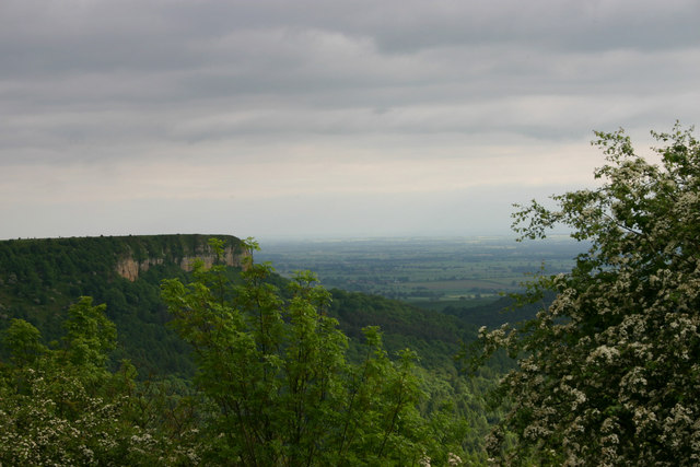
This circular walk takes you east to visit the neighbouring village of Thirlby and the lovely Gormire Lake. The route follows a mixture of public footpaths and country lanes to visit the ford at Ravensthorpe Mill and Southwoods Hall before coming to the lake. There's some peaceful woodland paths here and the option of extending the walk to visit the nearby Sutton Bank and the Kilburn White Horse. You can enjoy some wonderful views over the North York Moors from this popular local landmark. The Cleveland Way National Trail and the Hambleton Hills can also be accessed in this area.
Postcode
YO7 2DP - Please note: Postcode may be approximate for some rural locationsFelixkirk Ordnance Survey Map  - view and print off detailed OS map
Felixkirk Open Street Map  - view and print off detailed map
Felixkirk OS Map  - Mobile GPS OS Map with Location tracking
Felixkirk Open Street Map  - Mobile GPS Map with Location tracking
Walks near Felixkirk
- Gormire Lake - A short and easy walk around this pretty lake in the North York Moors
- Hambleton Hills - This walk explores the Hambleton Hills range on the western edge of the North York Moors
- Sutton Bank and the Kilburn White Horse - This challenging circular walk in the North York Moors visits the Kilburn White Horse, the lovely Gormire Lake and the scar at Sutton Bank
- Cleveland Way - This wonderful trail runs from Helmsley to Filey, taking you through the beautiful North York Moors national park, atop the Hambleton Hills ridge and along the stunning North Yorkshire coastline.
The trail begins in Helmsley, with the first section taking you through the heather moorland of the North York Moors, passing the village of Osmotherley, the pretty Cod Beck Reservoir and the ancient stones at Lord Stones Country Park and the Wainstones.
After enjoying the fabulous views on the elevated moors you arrive at Saltburn to begin the coastal stretch - Byland Abbey - Visit this fascinating ruined abbey before exploring the surrounding countryside of Ryedale
- Helmsley to Rievaulx Abbey - This is a popular walk which takes you from the medieval Helmsley Castle to the fascinating ruins of Rievaulx Abbey
- Oulston Reservoir - This walk visits Oulston Reservoir in the Hambleton district of North Yorkshire.
- Boltby Forest - This large area of coniferous woodland on the western edge of the North York Moors is very popular with mountain bikers and walkers
- Hawnby Hill - This circular walk takes you up to the summit of Hawnby Hill from the village of Hawnby in Ryedale area of the North York Moors
- Coxwold - This pretty little village in the North York Moors makes a fine base for walkers
- Easingwold - This attractive market town is located in a fine location for walkers, sitting on the edge of the North York Moors National park and the Howardian Hills.
- Crayke - This picturesque village is located just to the east of Easingwold in the Hambleton District of North Yorkshire
- Thirsk - Enjoy a pleasant riverside stroll through this small market town, on this circular walk
Pubs/Cafes
The Carpenter's Arms was voted North Yorkshire's best pub in 2022. They serve excellent quality food and provide Luxury Accommodation. You can find them at postcode YO7 2DP.
Photos
Footbridge & Ford Ford through Gurtof Beck & the footbridge over it, close to Ravensthorpe Mill. This stream is the one that in 2005 caused so much damage to Boltby, Thirlby, Sutton Under Whitestonecliffe, and Balk after torrential rain in a 4hr period.


