Gaddings Dam Walk
![]()
![]() This circular walk visits the Gaddings Dam reservoir near Todmorden.
This circular walk visits the Gaddings Dam reservoir near Todmorden.
The spot is something of a hidden gem with a secluded beach and wonderful views from its elevated position on the moors.
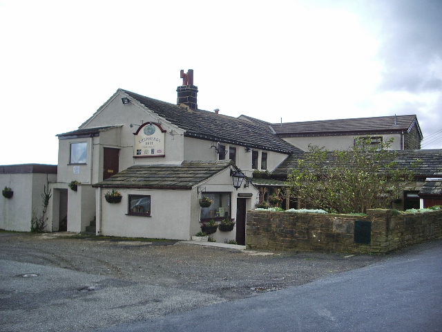
You can start your walk from the roadside parking area opposite the Shepherd's Rest Inn on the Lumbutts Road.
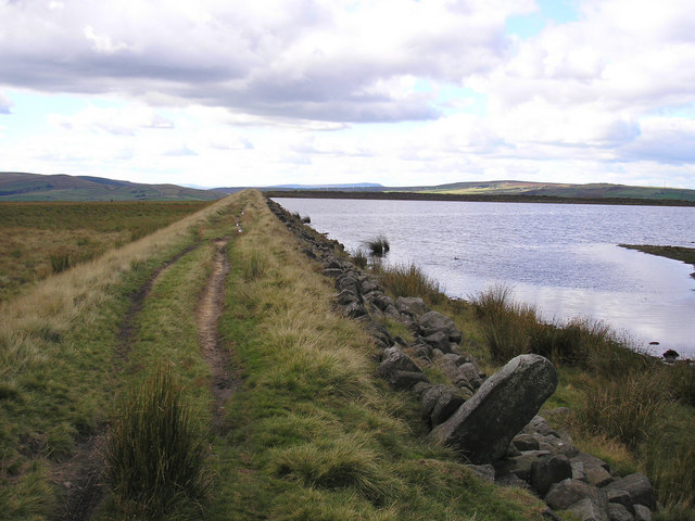
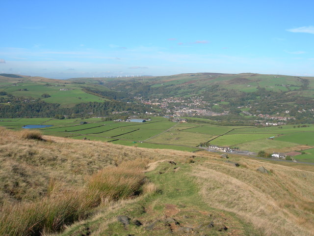
From here you can pick up footpaths heading south to the reservoir. There's a circular path running around the lake with some excellent views across the moors to Pendle, the Calder Valley and the surrounding hills.
The site was created in the 19th century to provide water to the mills of Lumbutts village which lies just to the north east. There is also a small beach at the reservoir which is said to be the highest beach in the country. It's a lovely little tranquil spot to have a paddle in the summer months.
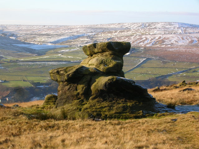
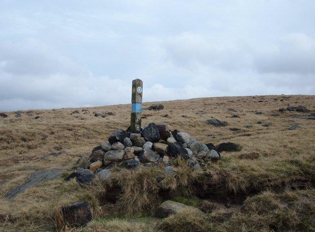
The route then heads north west to Rake End, passing the Basin Stone, an unusually shaped rock formation on the way. At Rake End you can pick up the Pennine Bridleway and follow it east back to the car park and the pub.
You could extend the walk by heading east to Lumbutts village and visiting a series of other reservoirs. Alternatively head less than a mile south to Warland Reservoir where there's a longer waterside path to enjoy.
Postcode
OL14 6JJ - Please note: Postcode may be approximate for some rural locationsGaddings Dam Ordnance Survey Map  - view and print off detailed OS map
Gaddings Dam Open Street Map  - view and print off detailed map
Gaddings Dam OS Map  - Mobile GPS OS Map with Location tracking
Gaddings Dam Open Street Map  - Mobile GPS Map with Location tracking
Pubs/Cafes
The walk starts and finishes from the Shepherds Rest Inn. They do fine home cooked food which you can enjoy with a view over the surrounding hills and countryside.
You can find them at postcode OL14 6JJ for your sat navs.
Dog Walking
The moors are a fine place for a dog walk and they will love a run along the little beach. The Shepherds Rest mentioned above is also dog friendly.
Cycle Routes and Walking Routes Nearby
Photos
Gaddings Dam. The dam was built in the 1830s by the Fielden Brothers to provide water to turn the wheels that powered nearby Lumbutts Mill. The mill has long since gone and Gaddings Dam has never been used to provide drinking water. Its sole purpose now is as a unique leisure and wildlife facility for the enjoyment of locals and the many visiting hill walkers. Pendle can be seen on the distant skyline.
Eastern Edge of the dam. The dam seems to have been in two parts at some point, being divided by this North to South running wall. The section to the West of the wall has long since been drained probably via the breach in the North Eastern Wall.
