Geltsdale
![]()
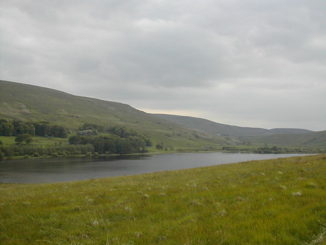
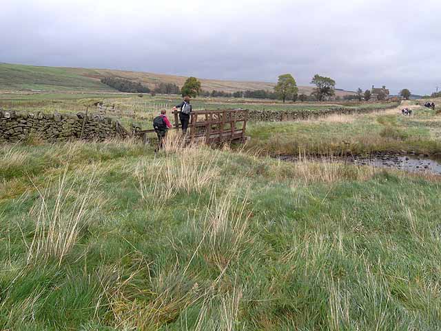
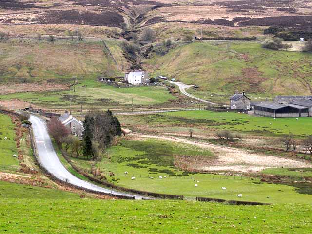
![]() This walk explores the RSPB's Geltsdale Nature Reserve and the pretty Tindale Tarn in the North Pennines. There's some fine scenery here with becks, hills and old quarries to see. The area is also great for wildlife with black grouse, curlews, and birds of prey like the hen harrier to look out for.
This walk explores the RSPB's Geltsdale Nature Reserve and the pretty Tindale Tarn in the North Pennines. There's some fine scenery here with becks, hills and old quarries to see. The area is also great for wildlife with black grouse, curlews, and birds of prey like the hen harrier to look out for.
You can start your walk from the RSPB car park at the western end of the site, just south of Hallbankgate. From here you can pick up walking trails heading east towards Tarnhouse Rigg, Tindale Tarn and the village of Tindale. You can then turn around and head west past the old quarries and Bruthwaite Forest to Howgill. Here you turn north to head past Tortie Hill and return to the car park.
Postcode
CA8 2PN - Please note: Postcode may be approximate for some rural locationsPlease click here for more information
Geltsdale Ordnance Survey Map  - view and print off detailed OS map
Geltsdale Open Street Map  - view and print off detailed map
Geltsdale OS Map  - Mobile GPS OS Map with Location tracking
Geltsdale Open Street Map  - Mobile GPS Map with Location tracking
Further Information and Other Local Ideas
A few miles to the west there's more waterside footpaths to enjoy around Talkin Tarn Country Park. Gelt Woods, Castle Carrock Reservoir and the worthy villages of Brampton and Wetheral are also not too far away.
To the east you can pick up the riverside South Tyne Trail just to the south of Haltwhistle.
Just a couple of miles to the north east of Brampton there's Miltonrigg Woods to explore. There's more peaceful woodland trails here with pretty bluebells in the spring and lots wildlife to see. Lanercost Priory is also located in this area. The English heritage run site was originally founded in 1169 as an Augustinian monastery. Today the substantial priory ruins are well worth a visit for the fascinating history and architecure.
For more walking ideas in the area see the North Pennines Walks page.


