Glentress Forest
![]()
![]() This expansive forest is located near Peebles in the Scottish Borders.
This expansive forest is located near Peebles in the Scottish Borders.
There's miles of great walking trails and some of the best mountain bike trails in the country.
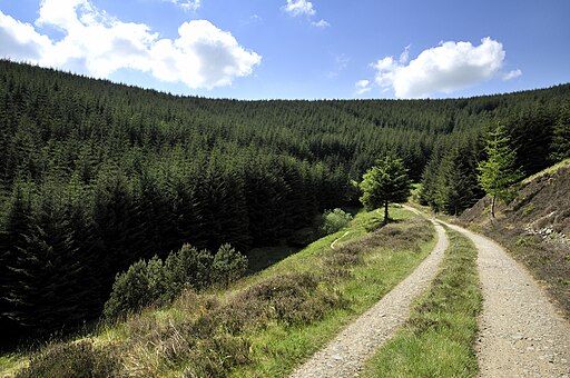
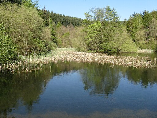
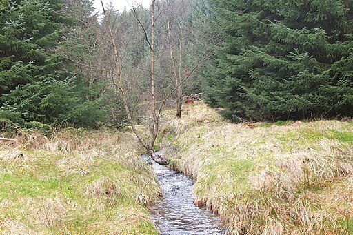
This circular route starts from the main visitor centre and car park. From here you can pick up the Multi User Trail and link up with the Buzzard’s Nest Trail and the Glen Trail. The waymarked walks will take you to the pretty Glentress Burn, picturesque ponds and a fine viewpoint at Cardie Hill. Keep your eyes peeled for wildlife such as herons, bats and red squirrels on the way.
You can see the mountain bike (mtb) routes mapped in blue on the Open Street Map below. The video below also gives a good idea of what you expect to find at the site.
Postcode
EH45 8NB - Please note: Postcode may be approximate for some rural locationsPlease click here for more information
Glentress Forest Ordnance Survey Map  - view and print off detailed OS map
Glentress Forest Open Street Map  - view and print off detailed map
*New* - Walks and Cycle Routes Near Me Map - Waymarked Routes and Mountain Bike Trails>>
Glentress Forest OS Map  - Mobile GPS OS Map with Location tracking
Glentress Forest Open Street Map  - Mobile GPS Map with Location tracking
Further Information and Other Local Ideas
Just south of the forest you can pick up the Tweed Valley Railway Path. This multi user route runs from Innerleithen to Peebles along an old railway path which closed in the 1960s. Part of the circular Gypsy Glen Walk also runs along the railway path. The multi user route explores Cardrona Forest and the hills to the west of the river. It is popular with mountain bikers.
Cycle Routes and Walking Routes Nearby
Photos
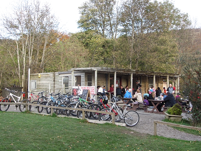
Bikes outside The Hub Café, Glentress, Peeblesshire. The forest offers five designated mountain bike routes along with a freeride park. Catering to various skill levels, these routes provide an exciting way to explore the forest and its rich history. The trails, designed for children and families, offer a glimpse into the area's heritage. For more experienced riders, there are blue, red, and black routes that offer different levels of challenge. The red route, featuring a thrilling section called Spooky Woods with numerous bermed corners, is particularly popular. Additionally, there's a green trail designed as a "skills loop" for beginners, although it also offers challenges for riders looking to practice rocky sections or elevated wooden trails. In August 2023, Glentress hosted the UCI MTB World Championships, attracting elite mountain bikers from around the world.
The forest was established in the 1920s to address the timber scarcity caused by the First World War. Despite its age, some of the original Douglas Fir stands still exist. At the summit of Janet's Brae, remnants of an Iron Age hill fort can be found, providing breathtaking views of Peebles town. A brief stroll leads to the spot where a reconstruction of an Iron Age timber roundhouse once stood before being destroyed by fire in 2010.


