Goytre Wharf Circular Walk
![]()
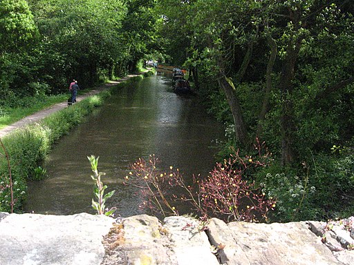
![]() This circular walk from the Goytre Wharf takes you along a section of the Monmouthshire and Brecon Canal before exploring the countryside to the west of the wharf.
This circular walk from the Goytre Wharf takes you along a section of the Monmouthshire and Brecon Canal before exploring the countryside to the west of the wharf.
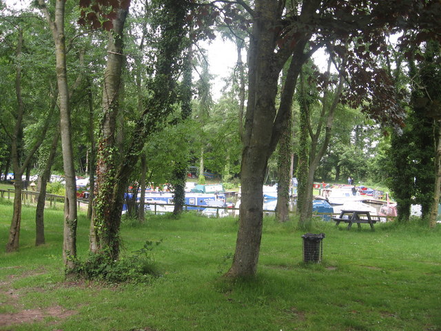
Goytre Wharf is a popular place for walks with a good sized car park, boat hire, a heritage centre and on site cafe.
The walk stars from the car park on the Old Abergavenny Road. From here you can pick up the canal towpath and follow it south towards Park-y-Brain. Here you can link up with the Marches Way and follow the waymarked trail north west into the lovely surrounding countryside. You'll pass the woodland around Pentre Hill and Wern Wood before following a country lane east, back to the canal around Pentcroescoped.
You can extend your walking around the wharf by following the canal north to visit Llanfoist and Abergavenny where you can explore Abergavenny Castle Meadows and Linda Vista Gardens or enjoy a climb to the viewpoint at the Sugarloaf. Near here there's also the pretty Gilwern Wharf where there's some lovely scenery and a fine canalside pub.
Postcode
NP7 9EW - Please note: Postcode may be approximate for some rural locationsPlease click here for more information
Goytre Wharf Ordnance Survey Map  - view and print off detailed OS map
Goytre Wharf Open Street Map  - view and print off detailed map
*New* - Walks and Cycle Routes Near Me Map - Waymarked Routes and Mountain Bike Trails>>
Goytre Wharf OS Map  - Mobile GPS OS Map with Location tracking
Goytre Wharf Open Street Map  - Mobile GPS Map with Location tracking
Pubs/Cafes
There's a nice on site cafe by the wharf where you can sit out and enjoy some refreshments after your exercise.
Further Information and Other Local Ideas
Just a couple of miles to the east you can pick up the Usk Valley Walk and enjoy a riverside walk towards the town of Usk. To the south there's some more waterside trails around Llandegfedd Reservoir to enjoy.
Continue south along the canal and it will take you into Pontypool where you can explore Pontypool Park. The extensive park includes ponds, woodland, Italian gardens, a stone circle, streams and a ski slope.
Cycle Routes and Walking Routes Nearby
Photos
Goytre Wharf. As well as having a boatyard and moorings, Goytre Wharf is a British Waterways Heritage Centre that tells the story of the canal's role in industrial South Wales. There are also restored limekilns here.
Canal Keepers house, by bridge under canal. Walkers, and bikers use the bridge under the canal to reach refreshments at the visitor centre.


