Hailes Abbey
![]()
![]() This circular walk visits the historic Hailes Abbey in Gloucestershire. It then uses a section of the Gloucestershire Way to visit the nearby town of Winchcombe. As such the route could also be started/finished from the town if your prefer.
This circular walk visits the historic Hailes Abbey in Gloucestershire. It then uses a section of the Gloucestershire Way to visit the nearby town of Winchcombe. As such the route could also be started/finished from the town if your prefer.
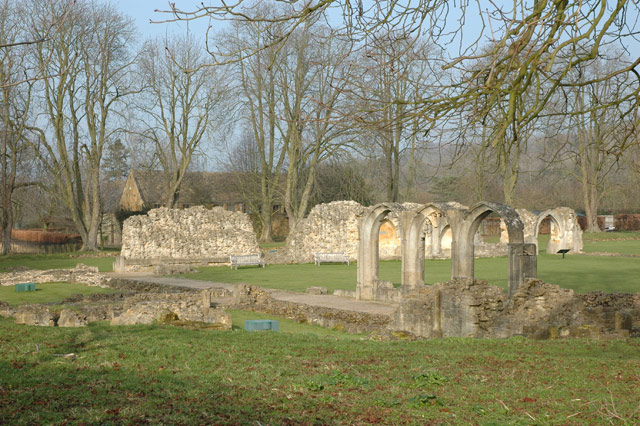
The route runs for about 7 miles, exploring the countryside surrounding the abbey. It starts and ends at the abbey car park, located next to Hailes Wood about two miles north east of Winchcombe. The ruined abbey dates back to 1246 is and is designated as a Grade I listed building. It is now under the care of English Heritage and includes a fascinating museum where you can learn all about the abbey's history.
You can extend the walk by heading a little to the south to visit the neighbouring Sudeley Castle, another highlight of the area.
Postcode
GL54 5PB - Please note: Postcode may be approximate for some rural locationsPlease click here for more information
Hailes Abbey Ordnance Survey Map  - view and print off detailed OS map
Hailes Abbey Open Street Map  - view and print off detailed map
Hailes Abbey OS Map  - Mobile GPS OS Map with Location tracking
Hailes Abbey Open Street Map  - Mobile GPS Map with Location tracking
Further Information and Other Local Ideas
The Cotswold Way National trail passes the site, providing an opportunity for further exploring the area.
For more walking ideas in the area see the Gloucestershire Walks, Cotswolds Walks page.
Cycle Routes and Walking Routes Nearby
Photos
Hailes Abbey was founded in 1246 and was once a site of pilgrimage. Like many others this Cistercian abbey was desolved in the reformation during the reign of king Henry VIII. The abbey is in the care of the National Trust.
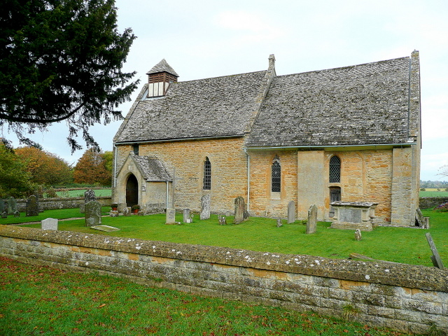
Hailes church. The church does not appear to have a dedication. The building predates the 12th century Cistercian Abbey nearby by 50 years.


