Hallington Reservoir
![]()
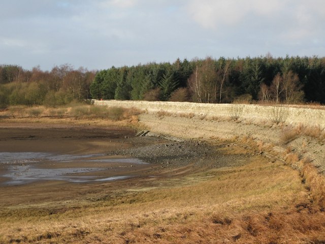
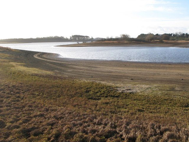
![]() This walk visits the Hallington Reservoirs in Northumberland, near Hexham.
This walk visits the Hallington Reservoirs in Northumberland, near Hexham.
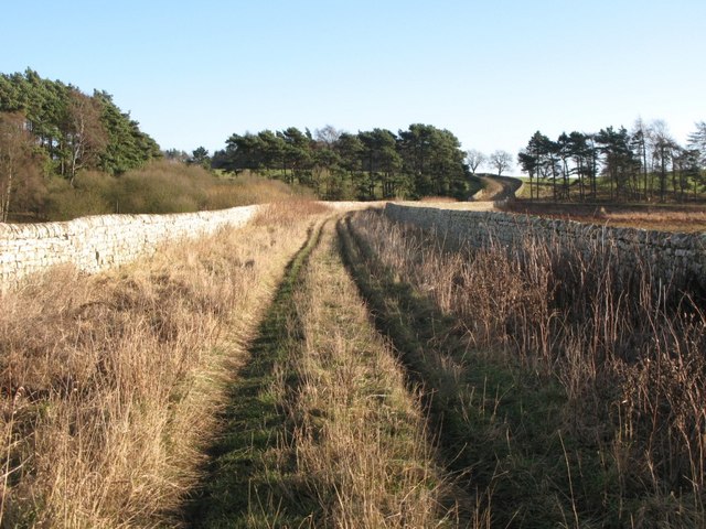
You can reach the two reservoirs by following a pleasant country lane north from the little village of Hallington, using a section of the St Oswald's Way. After about half a mile or so another footpath branches off to the west, leading to the reservoirs. Here you can follow a causeway between the two reservoirs, with lovely views over the water. The area is also good for flora and fauna with attractive Scots pine woodland to enjoy. Look out for wildlife on the water including wigeon, teal and dunlin.
You can extend the walk by continuing north west to Little Swinburne and Colt Crag Reservoir, where there's another pleasant waterside trail to try.
Postcode
NE46 4TP - Please note: Postcode may be approximate for some rural locationsHallington Reservoir Ordnance Survey Map  - view and print off detailed OS map
Hallington Reservoir Open Street Map  - view and print off detailed map
Hallington Reservoir OS Map  - Mobile GPS OS Map with Location tracking
Hallington Reservoir Open Street Map  - Mobile GPS Map with Location tracking
Further Information and Other Local Ideas
Head south and you can enjoy another lakeside trail around Whittle Dene Reservoir on the epic Hadrian's Wall Path.
Just to the north of Colt Crag there's Sweethope Loughs where you'll find two nice fishing lakes with woodland and waterside paths.
For more walking ideas in the area see the Northumberland Walks page.


