Harrop Tarn Walk
![]()
![]() This walk visits Harrop Tarn near Thirlmere Reservoir in the Lake District.
This walk visits Harrop Tarn near Thirlmere Reservoir in the Lake District.
The tarn lies to the west of the lake on the Dob Gill and can be reached on a steadily rising footpath which runs for just under half a mile.
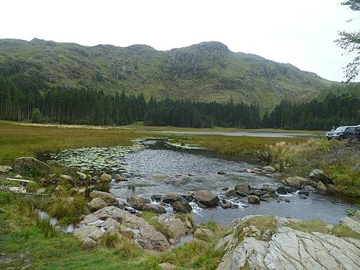
You can start your walk from the Dob Gill car park and then follow the pleasant footpath west to reach the tarn. On the way you'll pass a pretty waterfall before coming to the picturesque tarn which is surrounded by attractive woodland and hills.
You can continue your walking in the area by climbing to the viewpoints at Helvellyn or Raven Crag.
Harrop Tarn Ordnance Survey Map  - view and print off detailed OS map
Harrop Tarn Open Street Map  - view and print off detailed map
Harrop Tarn OS Map  - Mobile GPS OS Map with Location tracking
Harrop Tarn Open Street Map  - Mobile GPS Map with Location tracking
Cycle Routes and Walking Routes Nearby
Photos
Harrop Tarn. The Ullscarf Gill flows into Harrop Tarn from the south, the Mosshause Gill flows into its northern side and an unnamed tributary flows into its western side. The Dob Gill forms its outlet on the east side.


