Helvellyn Walk from Thirlmere
![]()
![]() Climb to Helvellyn from Thirlmere Lake on this challenging climb.
Climb to Helvellyn from Thirlmere Lake on this challenging climb.
Helvellyn is the third highest mountain in England at 950m (3,120 ft) and one of the most popular climbs in the country. It is situated in the Lake District National Park between Thirlmere Reservoir and Ullswater.
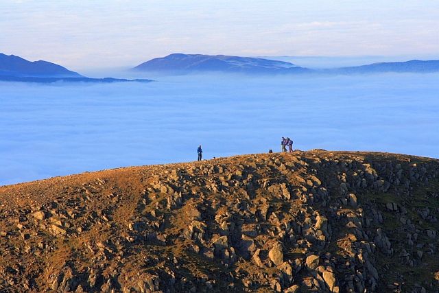
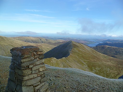
This route starts at the parking lot at Thirlmere Reservoir and takes a direct, short route to the summit via Helvellyn Gill and Browncove Crags. It's a steep ascent but the path is well defined for most of the route so there isn't much scrambling. The views from the summit are spectacular. On a clear day you can see the Solway Firth and hills of south-west Scotland to the north-west, Cheviot and the Pennine Hills to the north-east, Morecambe Bay, Blackpool and the coast of North Wales to the south, and the Irish Sea to the west.
Thrill seekers can take an alternative route from Glenridding via Striding Edge - an exposed knife edge ridge which is not for the faint hearted. See the video bellow for details.
If you would like an alternative route up to the summit you can ascend from Glenridding. This requires a challenging scramble along Swirral Edge or Striding Edge and requires a head for heights. The Red Tarn Walk shows most of this route.
Postcode
CA12 4TW - Please note: Postcode may be approximate for some rural locationsHelvellyn Ordnance Survey Map  - view and print off detailed OS map
Helvellyn Open Street Map  - view and print off detailed map
*New* - Walks and Cycle Routes Near Me Map - Waymarked Routes and Mountain Bike Trails>>
Helvellyn OS Map  - Mobile GPS OS Map with Location tracking
Helvellyn Open Street Map  - Mobile GPS Map with Location tracking
Pubs/Cafes
The King's Head Inn is located just to the north of the car park and a fine place for some well earned post walk refreshments. This historic inn dates all the way back to the 17th century when it began life as a coaching inn. They serve good quality food and have a fine drinks selection. The inn also provide rooms if you would like to stay in the area. You can find them on the A591 with a postcode of CA12 4TN for your sat navs. They are dog friendly.
Further Information and Other Local Ideas
On the western side of the lake there's the popular climb to Raven Crag. It's another fine climb to an excellent viewpoint above the lake. You can start the walk from the Dam triangle car park at the north western end of Thirlmere. Just to the south of the crag there's an easy climb to Harrop Tarn along the Dob Gill. There's a car park here and a pretty waterfall to see before you reach the picturesque little tarn.
Cycle Routes and Walking Routes Nearby
Photos
A view of the good sized car park on the eastern side of Thirlmere. You can start your walk from here.


