Walk around Hartley Wintney
![]()
![]() This walk from the Hampshire village of Hartley Wintney explores the area to the south of the settlement. You'll visit some of the highlights of the area including the Basingstoke Canal and Dogmersfield Park.
This walk from the Hampshire village of Hartley Wintney explores the area to the south of the settlement. You'll visit some of the highlights of the area including the Basingstoke Canal and Dogmersfield Park.
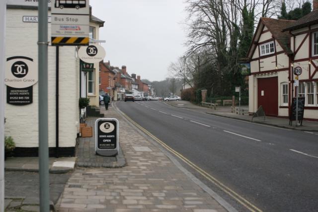
The walk starts in the village and heads south through the centre of the village. Eventually you come out into the countryside where you can pick up the Three Castles Path and follow the waymarked footpath south. It will take you past Taplin's Farm, Cranford's Farm and Blacklands Copse to the canal. Here you can follow the towpath towards Sandy Hill Bridge where you turn east to enter Dogmersfield Park. There's a nice waterside path to follow a waterside footpath along the Tundry Pond before rejoining the canal to make a pleasant circular loop in the park.
After passing Barley Mow Bridge you pick up the Three Castles Path again and follow it north back into Hartley Wintney.
Hartley Wintney Ordnance Survey Map  - view and print off detailed OS map
Hartley Wintney Open Street Map  - view and print off detailed map
Hartley Wintney OS Map  - Mobile GPS OS Map with Location tracking
Hartley Wintney Open Street Map  - Mobile GPS Map with Location tracking
Pubs/Cafes
Head to the Waggon & Horses for some refreshment after your walk. The pub has a very good menu and a nice garden area out back for warmer days. The interior has bags of chatacter and a cosy fire for winter days. You can easily find it in the village on the High Street at a postcode of RG27 8NY for your sat navs.
Dog Walking
The route is a nice place for dog walkers and there are also miles of woodland trails in Warren Heath, to the north of the village. The Waggon & Horses pub mentioned above is also dog friendly.
Further Information and Other Local Ideas
To continue your walking in the area head to the picturesque West Green House or visit the nearby village of Odiham on the Odiham Castle and Canal Walk. To the east of the town there's some nice woodland trails on Yateley Heath Wood and a waterside stroll around the pretty Fleet Pond in the town of Fleet.
Just to the north there's the RSPB's Hazeley Heath, part of the wider Bramshill Forest. The area is great for wildlife with red kites, dartford warblers and deer to look out for on the peaceful woodland trails.
In nearby Hook there's some pleasant trails along the River Whitewater in the pretty Bassets Mead park on the eastern side of the town.


