Hazeley Heath
![]()
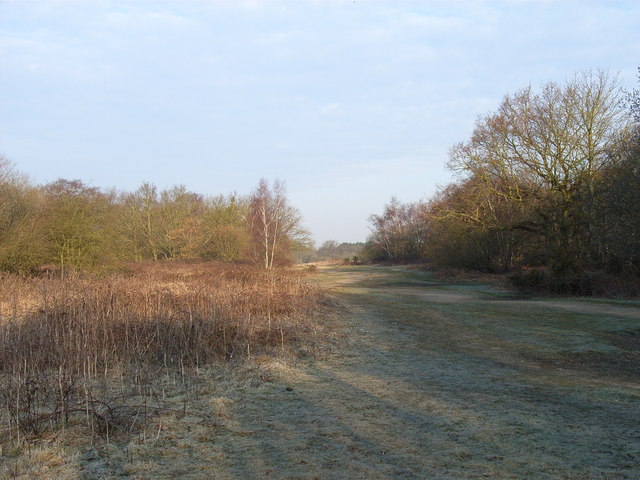
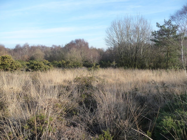
![]() This walk explores the RSPB'S Hazeley Heath near Hook in Hampshire.
This walk explores the RSPB'S Hazeley Heath near Hook in Hampshire.
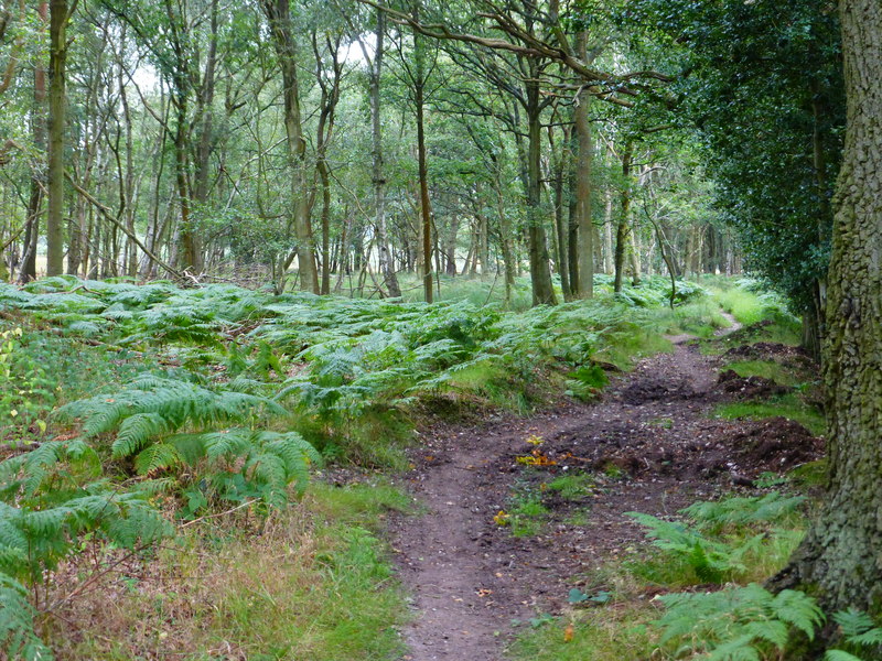
You can start the walk from the eastern end of the heath in the village of Hartley Wintney where parking is available. Trails can then be followed north west onto the heath where you'll find hundreds of acres of lowland heath to explore on a network of footpaths. The area is great for wildlife with red kites, dartford warblers, nightjars, tree pipits, woodlarks and silver-studded blue butterflies to look out for. Also keep your eyes peeled for the odd deer.
At the north western end of the heath you'll find the small village of Hazeley.
The heath is part of the wider Bramshill Forest where you can explore Warren Heath and Heath Warren Wood.
Postcode
RG27 8LT - Please note: Postcode may be approximate for some rural locationsPlease click here for more information
Hazeley Heath Ordnance Survey Map  - view and print off detailed OS map
Hazeley Heath Open Street Map  - view and print off detailed map
Hazeley Heath OS Map  - Mobile GPS OS Map with Location tracking
Hazeley Heath Open Street Map  - Mobile GPS Map with Location tracking
Pubs/Cafes
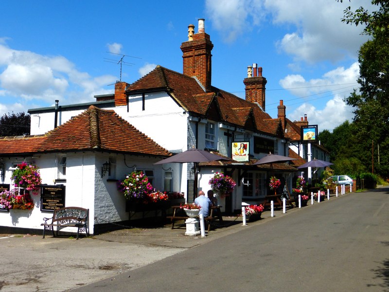
The Mutton at Hazeley Heath is located on the western side of the heath in Hazeley village. They serve quality dishes and have a particularly garden area to sit out in on warmer days. You can find them at postcode RG27 8NB for your sat navs.
Dog Walking
The woodland and heath are a fine place for a dog walk but its best to keep them on leads because of the wildlife. The Mutton pub mentioned above is also dog friendly.
Further Information and Other Local Ideas
In nearby Hook there's some pleasant trails along the River Whitewater in the pretty Bassets Mead park on the eastern side of the town.
