Hay Bluff
![]()
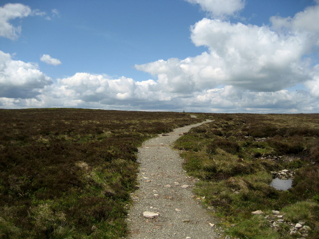
![]() This is a popular climb to Hay Bluff hill in the Black Mountains. The hill straddles the border of Wales and England. Most of the area lies within Powys with the eastern flanks in Herefordshire. From the summit there are wonderful views over the Wye Valley and the Welsh Mountains.
This is a popular climb to Hay Bluff hill in the Black Mountains. The hill straddles the border of Wales and England. Most of the area lies within Powys with the eastern flanks in Herefordshire. From the summit there are wonderful views over the Wye Valley and the Welsh Mountains.
This walk starts from the Hay Bluff car park located just half a mile north west of the hill. However, you could also start the walk from Hay on Wye. Just follow the Offa's Dyke Path south from the town centre for about three miles and you will reach the hill. The path passes Cusop and Tack Wood before arriving at the car park and Stone Circle at the foot of the climb.
The route to the 677 m (2,221 ft) passes Ffynnon y Parc on a good path. You can further explore the area as the entire hill is designated as open country so walkers have the freedom to roam at will.
You can extend your walk by continuing south along the Offa's Dyke Path to the nearby Black Mountain South Top and the Hatterrall Ridge. Also nearby is a similar short climb to Lord Hereford's Knob (Twmpa).
Postcode
HR3 5RJ - Please note: Postcode may be approximate for some rural locationsHay Bluff Ordnance Survey Map  - view and print off detailed OS map
Hay Bluff Open Street Map  - view and print off detailed map
Hay Bluff OS Map  - Mobile GPS OS Map with Location tracking
Hay Bluff Open Street Map  - Mobile GPS Map with Location tracking
Explore the Area with Google Street View 
Pubs/Cafes
The little village of Craswell is located a couple of miles east of the hill summit. Here you can pay a visit to the White Haywood Farm Restaurant. The restaurant is set in a converted 400 year old stone barn at the foot of the Black Hill. It's a splendid place, serving high quality food with home grown and local produce. You can find them at postcode HR2 0PL.
Further Information and Other Local Ideas
The Gospel Pass cycle route runs past the car park. It runs along the highest road pass in Wales from Hay on Wye to the nearby Llanthony Priory.
The circular Cat's Back Walk passes close to the hill. The wonderful knife edge ridge walk is located just to the south east of the hill in the lovely Olchon Valley. It's a popular walk, giving great views into England on one side, and Wales on the other from the Black Hill summit. There's a handy car park just south of the ridge or you could start from the pretty little village of Michaelchurch Escley where there's a nice riverside pub to visit.
For more walking ideas in the area see the Brecon Beacons Walks and Black Mountains Walks pages.


