Hazlewood Castle
![]()
![]() This circular walk explores the area around the attractive Hazlewood Castle estate near Leeds.
This circular walk explores the area around the attractive Hazlewood Castle estate near Leeds.
The castle is now run as a hotel but you can enjoy an afternoon tea and a stroll around the nature trails in the bluebell woods. These are located to the west of the hall and also a include a mountain bike circuit.
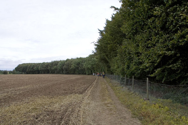
This walk explores the countryside around the castle, visiting Hayton Wood, Aberford, the Cock Beck and Saxton. You'll also skirt the edge of the Lotherton Hall Estate which lies just to the south.
The route runs for about 9 miles with some pleasant country views to enjoy aong the way.
Postcode
LS24 9NJ - Please note: Postcode may be approximate for some rural locationsPlease click here for more information
Hazlewood Castle Ordnance Survey Map  - view and print off detailed OS map
Hazlewood Castle Open Street Map  - view and print off detailed map
Hazlewood Castle OS Map  - Mobile GPS OS Map with Location tracking
Hazlewood Castle Open Street Map  - Mobile GPS Map with Location tracking
Cycle Routes and Walking Routes Nearby
Photos
Hazlewood Castle Hotel and wedding centre. The former home of the Vavasour family. There is plenty of interesting history connected with the castle as it overlooked the Battlefield for the Battle of Towton in 1461. The battle took place during the English Wars of the Roses and was "probably the largest and bloodiest battle ever fought on English soil". During the persecution of Catholics through the reign of Henry VIII the site also provided refuge for Catholic priests.
Footbridge over Cock Beck. Hayton House Farm just visible through the clearing in the top right of the picture.


