Healey Nab MTB and Walks
![]()
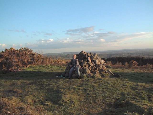
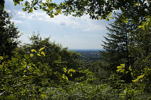
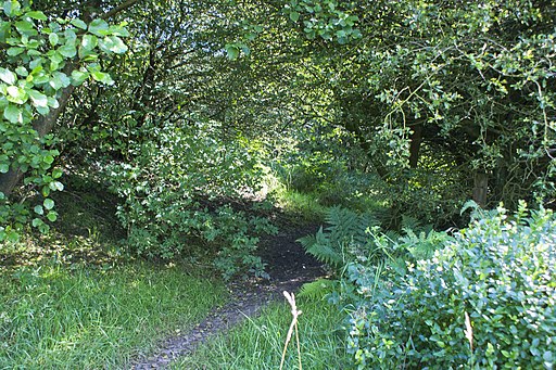
![]() Enjoy woodland, rolling hills, moorland, ponds and streams in this elevated area of countryside above Chorley. The area is great for walkers and mountain bikers with a network of paths criss-crossing the hill.
Enjoy woodland, rolling hills, moorland, ponds and streams in this elevated area of countryside above Chorley. The area is great for walkers and mountain bikers with a network of paths criss-crossing the hill.
This route is designed for walkers to reach the hill from Chorley town centre but the area is also great for mountain bikers with a Red Route and Black Route to try in the wooded section of the route. If you look on the open street map below you can see the routes marked out in the woodland section on the Nab. Also see the video below for an idea of the jumps you can expect to find at the site.
This walk starts at Chorley train station and heads east crossing the Leeds and Liverpool Canal and the M61 to reach Healey Nab. You then follow footpaths past Chorley Reservoir and then across the Nab towards Anglezarke Reservoir, before climbing to the woodland area. You follow the woodland trails before descending back towards Chorley. The hill rises to a height of well over 600 feet so there are fabulous views over the surrounding hills, reservoirs and countryside of the West Pennine Moors.
You can extend your walking in the area by trying the Chorley Canal Walk to Adlington or heading to the delightful hamlet of White Coppice with its idyllic cricket pitch and series of reservoirs.
There's also a nice trail to try around the nearby Rivington Country Park and Rivington Reservoirs.
If you prefer you could reach the Nab by parking at the nearby Anglezarke Reservoir and then following the trails along the water.
MTB info: See the openstreetmap below for details of the mtb trails around the woods. You can see the Red Route and the Black Route mapped in the dotted blue lines.
Postcode
PR6 9DQ - Please note: Postcode may be approximate for some rural locationsHealey Nab Ordnance Survey Map  - view and print off detailed OS map
Healey Nab Open Street Map  - view and print off detailed map
Healey Nab OS Map  - Mobile GPS OS Map with Location tracking
Healey Nab Open Street Map  - Mobile GPS Map with Location tracking
Pubs/Cafes
One nice idea is to head to the nearby canal and visit The Lock & Quay. The pub serves good food which you can enjoy with a nice view of the canal. It's located just north west of the Nab at 1 Botany Bay, PR6 9AE.
Further Information and Other Local Ideas
Nearby is the Brinscall Walk which follows a nice trail along The Goit Canal to White Coppice and Anglezarke Reservoir. The Withnell Nature Reserve and Abbey Village Reservoir can also be accessed near this route.
For more walking ideas in the area see the Lancashire Walks and West Pennine Moors Walks pages.


