Hell Gill Gorge Walk
![]()
![]() This circular walk in the Great Langdale Valley visits the attractive Hell Gill.
This circular walk in the Great Langdale Valley visits the attractive Hell Gill.
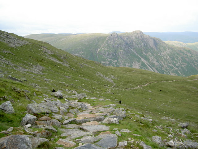
On the walk you will enjoy waterside walking along the Oxdale Beck and a series of lovely waterfalls. The route runs for just over 6 miles with some fairly challenging climbs. Reaching a height of over 2000ft there are splendid views of Bowfell, Crinkle Crags, Lingmoor and many other surrounding fells on the way.
You start from the car park at the The Old Dungeon Ghyll hotel and head west towards Stool End. The route continues along the Oxdale Beck to the splendid Whorneyside Force Waterfall.
You continue through Hell Gill to Buscoe Sike where there's another large waterfall to admire. At three tarns just below Bowfell, the route turns east to take you along a popular path know as The Band. You'll pass Earing Crag and White Stones as you descend along the path, enjoying wonderful lakeland views as you go. The trail eventually reaches Stool End Farm again, where it is a short walk back to the hotel and the finish point of the walk.
To continue your walking in the area you could climb along the wonderful waterfall at Dungeon Ghyll and visit Stickle Tarn. The climb to Lingmoor Fell also starts from the hotel.


