Hicks Lodge MTB and Walks
![]()
![]() Enjoy cycling and walking trails in this converted coal mining site in Ashby-de-la-Zouch.
Enjoy cycling and walking trails in this converted coal mining site in Ashby-de-la-Zouch.
Cyclists can enjoy two great mountain bike (mtb) trails. There is an easy trail suitable for all abilities and the more challenging Shell Brook Trail which has some jumps and bumps.
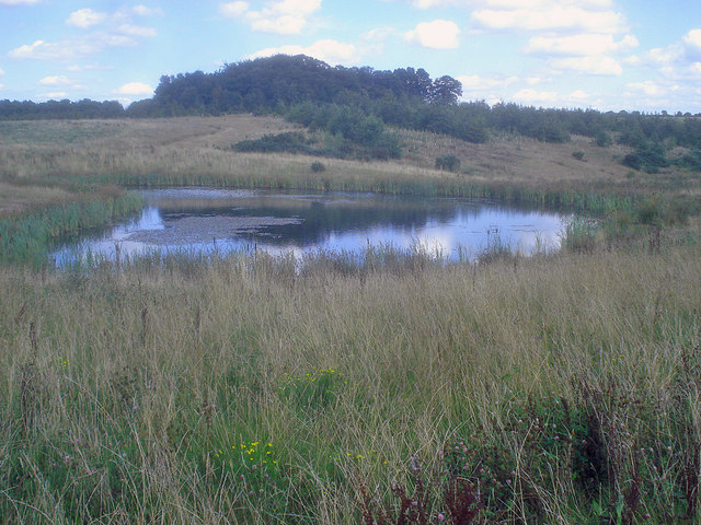
Walkers can enjoy a short stroll around the lake or explore deeper into the forest on woodland trails.
If you look on the open street map below you can see the mtb trails on the eastern side of the park.
Less than half a mile to the west you'll find the Moira Furnace. The 36 acre country park includes walking and cycling trails along the Ashby Canal. The National Forest visitor centre and the Donisthorpe Woodland park are also in this area.
Postcode
LE65 2UP - Please note: Postcode may be approximate for some rural locationsPlease click here for more information
Hicks Lodge Ordnance Survey Map  - view and print off detailed OS map
Hicks Lodge Open Street Map  - view and print off detailed map
Hicks Lodge OS Map  - Mobile GPS OS Map with Location tracking
Hicks Lodge Open Street Map  - Mobile GPS Map with Location tracking
Pubs/Cafes
There's a good on site cafe where you can enjoy a range of refreshments after your exercise.
Dog Walking
As you'd expect the woodland trails are ideal for dog walking so you'll probably see other owners on your visit.
Further Information and Other Local Ideas
Just to the south east you'll find more woodland trails and a series of pretty lakes at Queen Elizabeth Diamond Jubilee Wood and Sence Valley Forest Park on the outskirts of Coalville.
Cycle Routes and Walking Routes Nearby
Photos
Looking east across the large pond, which has a few resident waterfowl. Along the bank are freshly planted marginals - bulrush (common reedmace), sedge and purple loosestrife. They are enclosed wire netting to protect them until established.
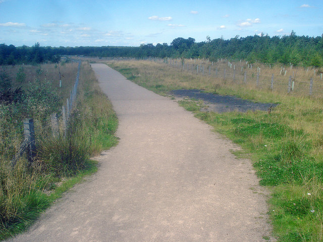
Path through the Hicks Lodge reclamation area. Looking north along a new path, part of restoring the countryside following completion of extraction from the open cast coal mine.
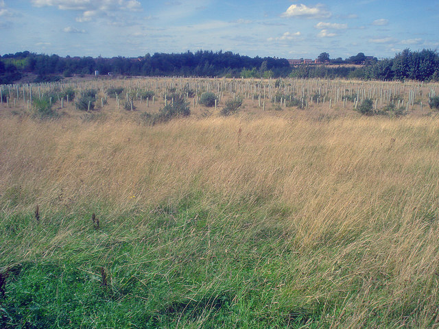
Dilworth New Clumps. From the edge of the clearing looking east to a solid block of maturing woodland.


