Queen Elizabeth Diamond Jubilee Wood
![]()
![]() This walk explores the Queen Elizabeth Diamond Jubilee Wood near Normanton Le Heath in the National Forest.
This walk explores the Queen Elizabeth Diamond Jubilee Wood near Normanton Le Heath in the National Forest.
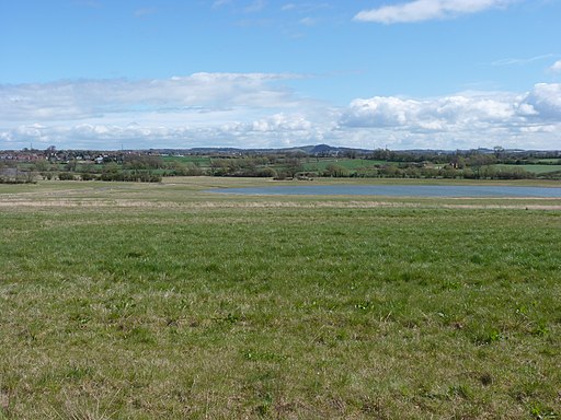
These peaceful Leicestershire woods were planted in 2012 to celebrate the Queen's Diamond Jubilee. The site is criss crossed with a number of pleasant waymarked footpaths taking you to a picturesque lake and the Bowers Brook on the eastern edge.
You can start your walk from the free car park on Heather Lane on the western side of the woods. Then head east towards the lake where you can see a variety of water loving wildlife. Birds of note include little grebes, tufter ducks, skylarks, buzzards and hen harrier.
The woods are located right next to the lovely Sence Valley Forest Park so it's easy to extend your outing if you have time. Just follow a bridletrack south east for about half a mile and you will come to the site. There's a series of pretty lakes and some more fine walking and cycling trails here. The Kelham Bridge Nature Reserve can also be found just a mile or so to the east. You can reach it by following the National Forest Way, a long distance trail which explores some of the highlights of the National Forest area.
Postcode
LE67 2TD - Please note: Postcode may be approximate for some rural locationsPlease click here for more information
Queen Elizabeth Diamond Jubilee Wood Ordnance Survey Map  - view and print off detailed OS map
Queen Elizabeth Diamond Jubilee Wood Open Street Map  - view and print off detailed map
Queen Elizabeth Diamond Jubilee Wood OS Map  - Mobile GPS OS Map with Location tracking
Queen Elizabeth Diamond Jubilee Wood Open Street Map  - Mobile GPS Map with Location tracking
Dog Walking
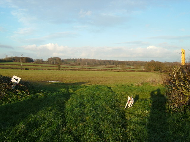
As you'd imagine the woodland paths are ideal for a dog walk. You'll probably see other owners on a fine day.
Further Information and Other Local Ideas
To continue your walking in the area pick up the Coalville Walk and enjoy some waterside trails at Thornton Reservoir and a climb to the viewpoint at nearby Bardon Hill.
Cycle Routes and Walking Routes Nearby
Photos
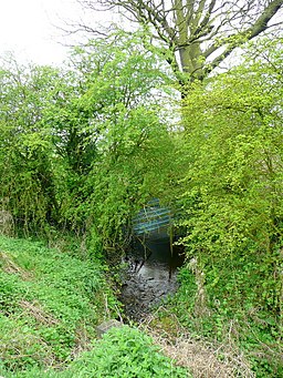
Blower's Brook. This small watercourse flows into the Sence, thence the Anker, thence the Tame, and ultimately the Trent and Humber into the North Sea.
Holy Trinity (NOT Holy Rood) parish church, Normanton-le-Heath, Leicestershire, seen from the east with bluebells in bloom
Open cast coal mine near Ravenstone. Looking north-east towards Coalville in the distance. At the bottom of this field on the left is the Longmoor open cast coal mine. Lots of controversy here as the Government overruled the local council, who had refused planning permission for UK Coal on this greenfield site.
