Sence Valley Forest Park
![]()
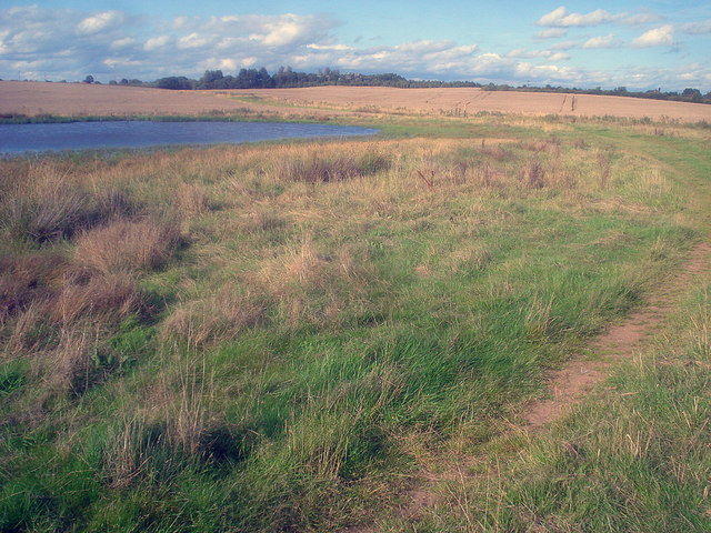
![]() Enjoy a series of lovely cycling and walking trails in this good sized country park near Ibstock. There are a number of well surfaced paths taking you past meadows, woodland and three lakes. It's great for families looking for a safe, easy cycle ride or walkers looking for a pleasant afternoon stroll. It's also good for birdwatching with various wildfowl around the lakes. Look out for Heron, swans, coots and mallard. The attractive woodland consists of Corsican pine, larch and poplar and also attracts many different species of bird.
Enjoy a series of lovely cycling and walking trails in this good sized country park near Ibstock. There are a number of well surfaced paths taking you past meadows, woodland and three lakes. It's great for families looking for a safe, easy cycle ride or walkers looking for a pleasant afternoon stroll. It's also good for birdwatching with various wildfowl around the lakes. Look out for Heron, swans, coots and mallard. The attractive woodland consists of Corsican pine, larch and poplar and also attracts many different species of bird.
The park has good facilities with car parking, toilets and picnic areas.
Sence Valley Forest Park is located near Coalville. If you are coming by bike you could follow National Route 52 from the town to the park.
If you would like to continue your exercise then you could head to the nearby Thornton Reservoir where there are more waterside walking and cycling paths.
Just to the north west there's Queen Elizabeth Diamond Jubilee Wood. This wood was planted in 2012 to mark the Diamond Jubilee of the Queen. There's more pleasant woodland trails, paths along the Bowers Brook and a pretty lake to see here. You can reach the woods by following a bridle path from the northern end of the park in a north westerly direction for about half a mile.
Postcode
LE67 6NW - Please note: Postcode may be approximate for some rural locationsSence Valley Forest Park Ordnance Survey Map  - view and print off detailed OS map
Sence Valley Forest Park Open Street Map  - view and print off detailed map
Sence Valley Forest Park OS Map  - Mobile GPS OS Map with Location tracking
Sence Valley Forest Park Open Street Map  - Mobile GPS Map with Location tracking
Further Information and Other Local Ideas
The circular Coalville Walk visits the park from the nearby town. It goes on to visit several other local highlights including the historic 17th century Donington le Heath Manor House, Grange Woods, Bagworth Heath Woods, Thornton Reservoir and the highest point in Leicestershire at Bardon Hill.
Also near Coalville there's Mount St Bernard Abbey to visit. Here you can explore the grounds with its beautiful gardens, visit the church and walk up to the cross at 'Calvary'. From the elevated position of the cross there's lovely views over the area. Near the abbey there's another local historic landmark at the 13th century Grace Dieu Priory. The anicent ruins of the priory are surrounded by some pleasant woodland with trails along the Grace Dieu brook.
The National Forest Way passes through the area. The long distance trail takes you to several of the highlights of the National Forest area.
To the south west there's the worthy village of Shackerstone to explore. There's some pleasant canalside walks and the heritage Battlefield Line Railway station to visit here.
For more walking ideas in the area see the Leicestershire Walks page.
Cycle Routes and Walking Routes Nearby
Photos
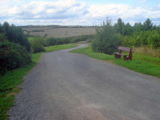
Path down to the lakes at the park. Heading north to the hairpin which leads left to the lakes at the bottom of the valley. Now part of the National Forest, it is hard to believe that this area was part of the open cast mine, which between 1982 and 1996 produced eight million tons of coal for nearby power stations.
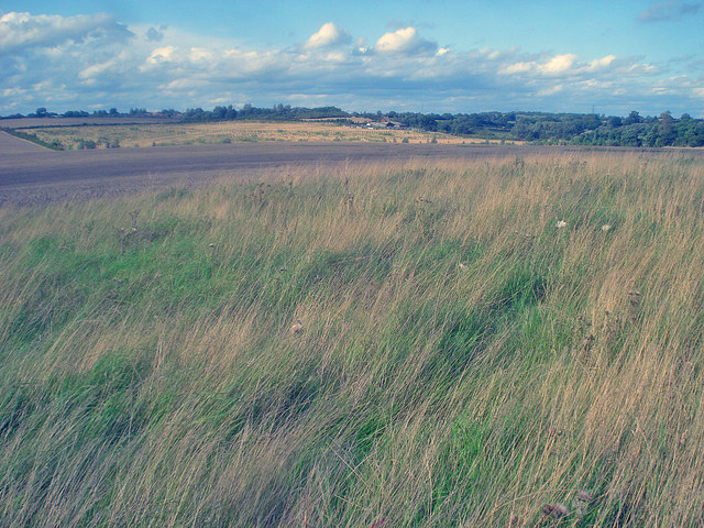
Grassland north of the park. Looking north-east to Kelham Bridge Farm in the distance. Seeding grass in the foreground, post-harvest arable in the centre and newly-planted woodland (National Forest - Kelham Wood) near the farm.


