Higger Tor and Carl Wark Circular Walk
![]()
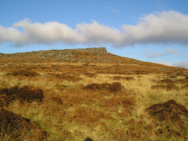
![]() This circular Peak District walk visits the prehistoric Carl Wark and Higger Tor on the eastern moor of the Dark Peak. It's quite a challenging walk reaching a height of 434 m (1,424 ft) at Higger Tor. From the high points there are splendid views over the Peak District landscape.
This circular Peak District walk visits the prehistoric Carl Wark and Higger Tor on the eastern moor of the Dark Peak. It's quite a challenging walk reaching a height of 434 m (1,424 ft) at Higger Tor. From the high points there are splendid views over the Peak District landscape.
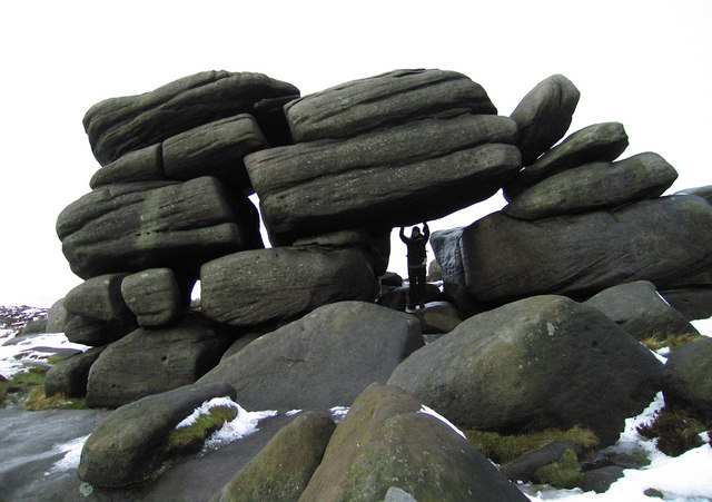
Start the walk from the parking area off the A6187 near Burbage Bridge. From here you can pick up the footpaths heading north onto Burbage Moor. The route continues along the Burbage Rocks to Upper Burbage Bridge where you turn south. You pass along Fiddler's Elbow before reaching Higger Tor where there's a number of strange grey gritstone rocks.
You continue south across Hathersage Moor where you will soon reach Carl Wark. The photogenic rocky promontory is faced by vertical cliffs on all but one side, which is protected by a prehistoric embankment. It stands at a height of 370 metres (1,214 ft) above sea level and is approximately 230 metres (750 ft) long and 60 metres (200 ft) wide.
After exploring Carl Wark the route continues south to the car park, passing another interestingly shaped rock at Toad's Mouth on the way.
To continue your walking in the area head north west to the nearby Stanage Edge. The stunning gritstone escarpment is one of the highlights of the area.
For an alternative route the tor see our Hathersage Circular Walk which starts and ends from the village.
Higger Tor Ordnance Survey Map  - view and print off detailed OS map
Higger Tor Open Street Map  - view and print off detailed map
*New* - Walks and Cycle Routes Near Me Map - Waymarked Routes and Mountain Bike Trails>>
Higger Tor OS Map  - Mobile GPS OS Map with Location tracking
Higger Tor Open Street Map  - Mobile GPS Map with Location tracking
Pubs/Cafes
The Fox House Inn is located just to the south east of Burbage Bridge (Postcode:S11 7TY). The rustic country pub/restaurant includes a comfort food menu and exposed beams. There's also lovely gardens outside where you can enjoy your meal with lovely views. It also has an intersting history dating all the way back to 1773.
Dog Walking
The moors and hills are a great place to take fit dogs for a walk. The Fox House Inn mentioned above is also dog friendly. There is generally water and treats available here.
Further Information and Other Local Ideas
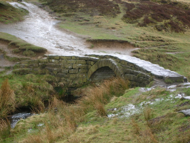
The Burbage Edge and Burbage Brook Walk is an alternative circular walk you can do in the area. It starts from the Upper Burbage Bridge Car Park which is located at the northern end of the rocks. It will take you up to the rocks before returning along the pretty brook with its interesting old packhorse bridge.
The brook runs south into the National Trust's
Longshaw Estate where there are miles woodland and country trails to try. Eventually it comes to the splendid Padley Gorge which is another walking highlight of the area.
The Sheffield Country Walk passes just to the east of the tor. The circular long distance trail is a great way of extending your walking in the area.
For more walking ideas in the area see the Peak District Walks page.


