High Tor Matlock Circular Walk
![]()
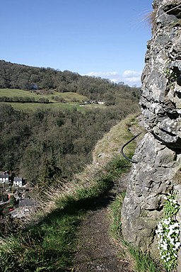
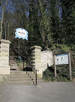
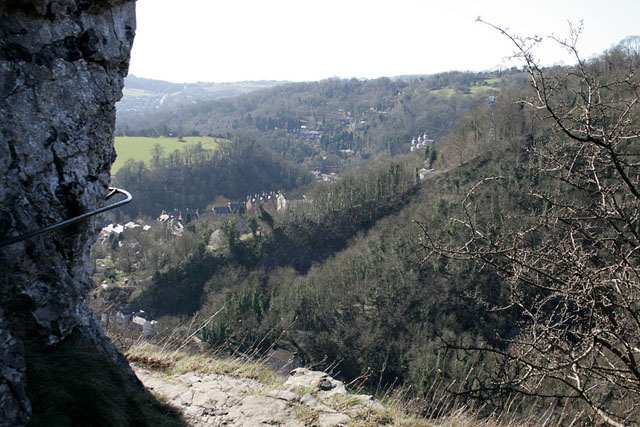
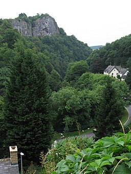
![]() This circular walk takes you to High Tor hill between Matlock and Matlock Bath. The impressive limestone crag is just over a mile from the town centre and the train station. If you follow the Derwent Valley Heritage Way along the River Derwent south you will soon come to the tor. There's fantastic views of Matlock Bath, the Heights of Abraham, Riber Castle and the surrounding Peak District countryside from the summit. The hill also includes a splendid narrow walkway called 'Giddy Ledge'. Only try this if you've a real head for heights though!
This circular walk takes you to High Tor hill between Matlock and Matlock Bath. The impressive limestone crag is just over a mile from the town centre and the train station. If you follow the Derwent Valley Heritage Way along the River Derwent south you will soon come to the tor. There's fantastic views of Matlock Bath, the Heights of Abraham, Riber Castle and the surrounding Peak District countryside from the summit. The hill also includes a splendid narrow walkway called 'Giddy Ledge'. Only try this if you've a real head for heights though!
You can extend your walk by descending into Matlock Bath through the river gorge. Here you can visit the fantastic Heights of Abraham where you can enjoy a cable car ride to a hill top park.
Just to the south of the hill there's some nice riverside trails on the Lovers Walk.
The Limestone Way also runs through Matlock so you could pick this up and head towards the village of Bonsall through the countryside.
High Tor Matlock Ordnance Survey Map  - view and print off detailed OS map
High Tor Matlock Open Street Map  - view and print off detailed map
*New* - Walks and Cycle Routes Near Me Map - Waymarked Routes and Mountain Bike Trails>>
High Tor Matlock OS Map  - Mobile GPS OS Map with Location tracking
High Tor Matlock Open Street Map  - Mobile GPS Map with Location tracking
Pubs/Cafes
Just east of the tor you could enjoy some post walk refreshments at The White Lion. The traditional British village pub has a cosy interior with log burners, low beams and stone walls. Outside there's a garden area where you can enjoy views of The Derwent Valley World Heritage Site. They serve good quality traditional dishes including a fine Sunday roast. You can find the pub at 195 Starkholmes Rd, Starkholmes, DE4 5JA. The pub is dog friendly.
Further Information and Other Local Ideas
For an alternative walk around the tor see the Giddy Edge Walk which starts from the train station in Matlock Bath, to the south of the hill.


