Hindhope Linn Walk
![]()
![]() This circular walk visits the beautiful Hindhope Linn and Blakehopeburnhaugh Waterfalls in Kielder Forest.
This circular walk visits the beautiful Hindhope Linn and Blakehopeburnhaugh Waterfalls in Kielder Forest.
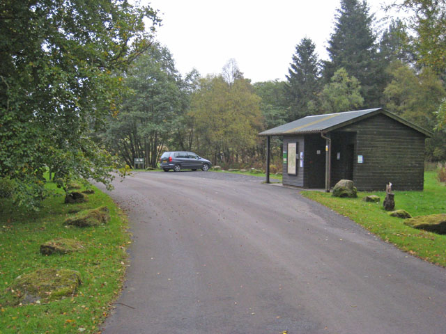
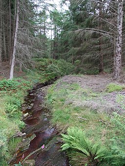
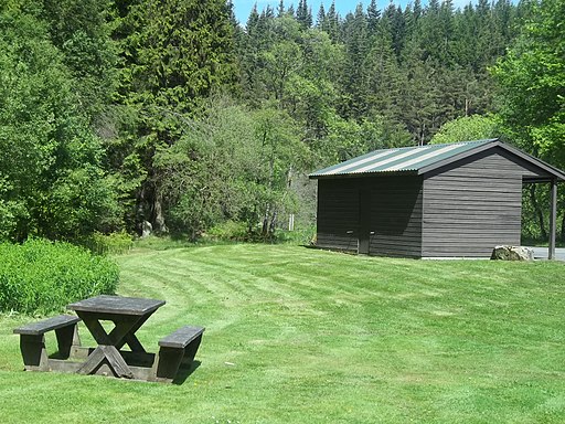
The walk starts from the Blakehopeburnhaugh car park to the east of the falls. From here you can pick up woodland trails heading west along Forest Drive. Other tracks will lead you down to the falls on the Blakehope Burn. It's a lovely secluded spot with the rushing falls in a photogenic dell.
You can continue west to Blackblakehope before following alternative paths back to the car park.
For an alternative circular walk try the Redesdale Forest, Three Kings Stone Circle and Hindhope Linn Walk. This visits the ancient Three Kings Stone Circle to the north of the falls.
Postcode
NE19 1SW - Please note: Postcode may be approximate for some rural locationsHindhope Linn Ordnance Survey Map  - view and print off detailed OS map
Hindhope Linn Open Street Map  - view and print off detailed map
*New* - Walks and Cycle Routes Near Me Map - Waymarked Routes and Mountain Bike Trails>>
Hindhope Linn OS Map  - Mobile GPS OS Map with Location tracking
Hindhope Linn Open Street Map  - Mobile GPS Map with Location tracking
Further Information and Other Local Ideas
To continue your walking in the area head north west through the Redesdale Forest to visit Catcleugh Reservoir. There's lots of wildlife and some nice waterside trails to enjoy here.
The epic Pennine Way runs right past the car park so you can easily pick up this long distance waymarked footpath to continue your walk.
On the southern side of the forest you can explore Wark Forest. It's a very peaceful area with miles of good walking and mountain bike trails. There's a car park at the Stonehaugh Picnic and campsite where you can pick up some nice walks along the Blacka Burn.
Just to north east you can explore the expansive Otterburn Ranges around Byrness. There's miles of walking trails taking you to the source of the River Coquet on the border with Scotland.
For more walking ideas in the area see the Northumberland National Park Walks page.


