Hull Pot Walk
![]()
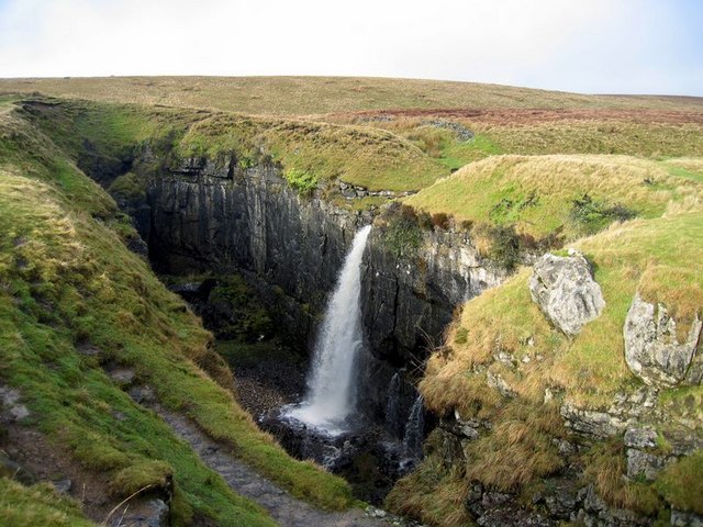
![]() This walk visits a wonderful natural hole and waterfall on the slopes of Pen y ghent. The large hole is often visited on the way up to Pen y ghent but it makes a worthy walk in its own right.
This walk visits a wonderful natural hole and waterfall on the slopes of Pen y ghent. The large hole is often visited on the way up to Pen y ghent but it makes a worthy walk in its own right.
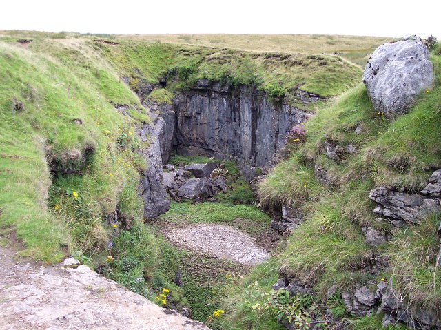
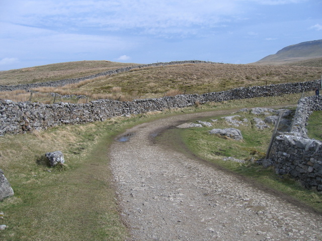
You can start the walk in the village of Horton in Ribblesdale. Here you can pick up the Pennine Way and follow the waymarked trail north east to Horton Scar. Shortly after you leave the trail to follow another path short distance up to Hull Pot. Here you'll find England's largest naturally formed hole measuring 91 metres (300 feet) long by 18 metres (60 feet) wide by 18 metres (60 feet) deep. The waterfall that flows into it from the Hull Pot Beck is a spectacular sight after rainfall.
After enjoy the falls and the fine views from its elevated position you return to Horton on the same paths.
Postcode
BD24 0JF - Please note: Postcode may be approximate for some rural locationsHull Pot Ordnance Survey Map  - view and print off detailed OS map
Hull Pot Open Street Map  - view and print off detailed map
Hull Pot OS Map  - Mobile GPS OS Map with Location tracking
Hull Pot Open Street Map  - Mobile GPS Map with Location tracking
Pubs/Cafes
In Horton in Ribblesdale head to the Helwith Bridge Inn for some well earned refreshments after your walk. The friendly pub has a great menu, a good selection of beers and outdoor seating. Here you can sit next to the River Ribble and enjoy fine views towards the hills if the weather is fine. You can find it on Austwick Rd with a postcode of BD24 0EH for your sat navs. The pub is also dog friendly if you have your canine friend with you.
Further Information and Other Local Ideas
The waymarked Ribble Way passes through Horton. You could pick up the riverside trails and follow it south to Helwith Bridge and Stainforth where you can visit the lovely Stainforth Force Waterfall.
The village of Horton is accessible by rail on the Settle–Carlisle Line. There is about one train every two hours in each direction: southbound to Leeds (seven in total) and northbound to Carlisle (eight, plus one evening train that terminates at Ribblehead).


